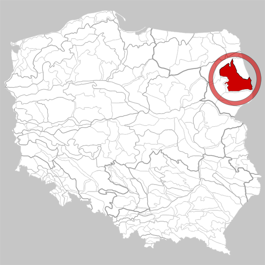
Białystok Upland
6.6
Overview
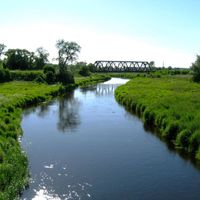
The Białystok Highland is a physiographic mesoregion located in the eastern part of the Podlasie Lowland, between the Biebrza Basin, the Upper Narew Valley, and the Sokółka Hills. It covers an area of approximately 3,560 km² and features a diverse landscape, including high moraine and kame hills, with the highest peak being Mount St. John, reaching 214 meters above sea level. The region is intersected by the valleys of the Supraśl and Brzozówka rivers, which shape smaller regional units such as the flat Knyszyn Basin with the artificially created Lake Zygmunt August from the 17th century. The kame and sandur areas, rich in forests, include the Błudów, Buksztel, and Knyszyn forests, the latter of which is part of the Knyszyn Forest Landscape Park, stretching along the Supraśl River. The Białystok Highland also boasts a rich cultural and historical heritage, having witnessed numerous events and changes over the centuries, making it an intriguing destination for both tourists and researchers.
Location
Country
You can also find here:
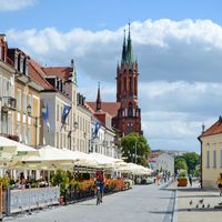
Białystok
8.44
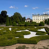
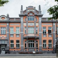
Branicki Palace in Białystok
8.23
Center, Białystok
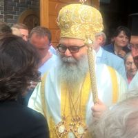
Church of the Holy Spirit in Białystok
8.16
Białystok

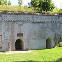
Gródek
7.86
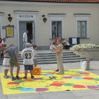
Podlasie Museum in Białystok
7.77
Center, Białystok
Moniecki County
7.68
Białystok Historical Museum
7.67
Białystok
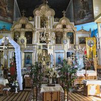
St. Michael the Archangel Church in Trześcianka
7.52
Bielsk Podlaski Deanery
Choroszcz
7.44
Hajnówka Deanery

Narew
7.42
Bielsk Podlaski Deanery
2026 Wizytor | All Rights Reserved