Grudziądz Fortress
6.89
Overview
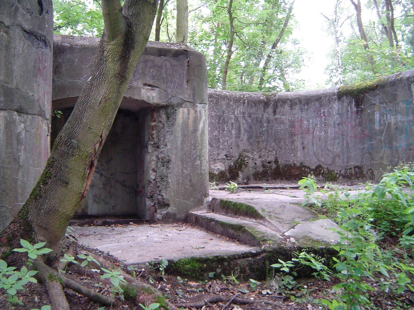
Grudziądz Fortress is a complex of Prussian forts, mainly from the 19th century, located in Grudziądz and its surroundings, designed to defend the city and the strategic bridge on the Vistula River against Russian attacks. The central point of the fortress is the Citadel, known as the Courbière Fortress, whose construction began in 1776 by order of the Prussian King Frederick II. The structure was built on a plateau and designed by Paul von Gontzenbach. During construction, which ended in 1789, difficulties related to access to building materials and rising costs caused significant delays. The Citadel had strategic importance during the Napoleonic Wars, when the Grudziądz Garrison defended itself against French forces. The siege in 1807 was a key moment in the fortress's history, although attempts by Polish forces to capture the Citadel ended in failure due to insufficient manpower and resources. After the Napoleonic Wars, the fortress lost its importance, and in the 20th century, it served primarily as barracks and storage facilities, coming under Polish control in 1920. During World War II, Grudziądz was the scene of intense fighting, and the fortress was once again transformed into a stronghold. After the war, the Citadel became a military site, preserving many of its original structures, including the keep, ramparts, and casemates. Today, it is a tourist attraction and a site for research and historical reconstruction. The fort complex in Grudziądz also includes other fortifications, such as Fort Dąb, Fort Tarpno, and the Northern Battery, with hiking and cycling trails facilitating the exploration of their history. Interestingly, parts of the forts serve as a sanctuary for bats, and events related to the fortress are remembered by the local community, which organizes open days for tourists. Architecturally, the fortress combines various fortification styles, and its preserved elements allow visitors to explore the history of fortifications in the region.
Location
2026 Wizytor | All Rights Reserved