Kałuszyn
6.66
Overview
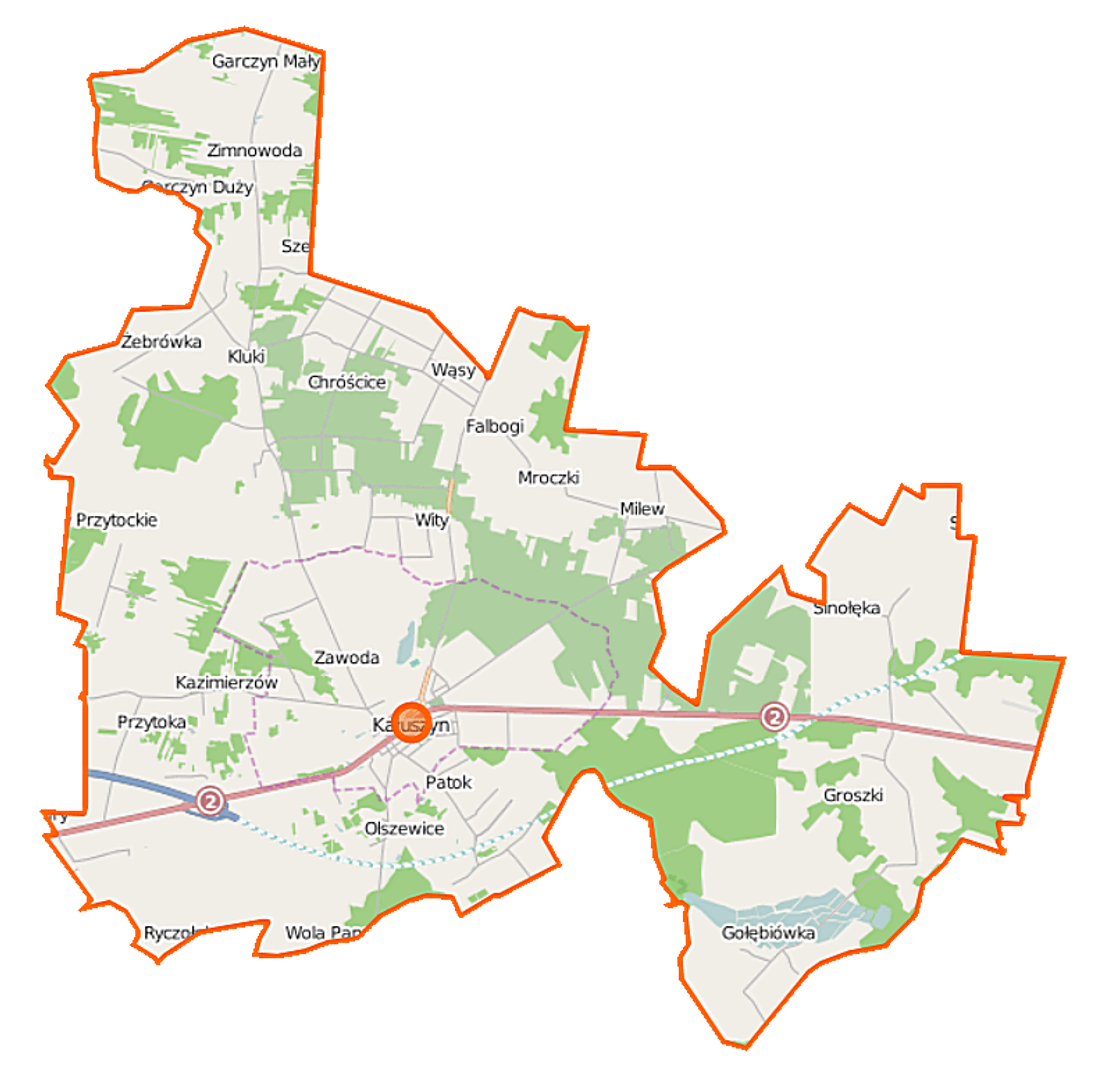
The Kałuszyn Commune, located in the Masovian Voivodeship within the Mińsk County, covers an area of 94.52 km², of which 69% is agricultural land and 23% is forested land. The commune has a rich history dating back to the times of the Kingdom of Poland, when it was established in 1867 as part of the Mińsk County in the Warsaw Governorate. In the mid-1870s, it was abolished, and its territory was incorporated into other communes. The commune was reactivated in 1973, encompassing areas from six former communes. The seat of the commune is Kałuszyn, which belonged to the Siedlce Voivodeship until 1998. According to data from June 30, 2020, the commune had 5,749 inhabitants, indicating a certain population decline compared to 2004, when the number was 6,182. The commune includes village administrative units such as Chrościce, Kazimierzów, and Wólka Kałuska. Kałuszyn borders neighboring communes: Cegłów, Dobre, Grębków, Jakubów, Kotuń, Mrozy, and Wierzbno. A distinctive feature of the commune is its diverse spatial structure and proximity to forested areas, creating a unique landscape. The commune also holds cultural and historical significance, being a place frequently visited by those interested in local history and traditions.
Location
You can also find here:

2026 Wizytor | All Rights Reserved