Koczy Castle
7.06
Overview
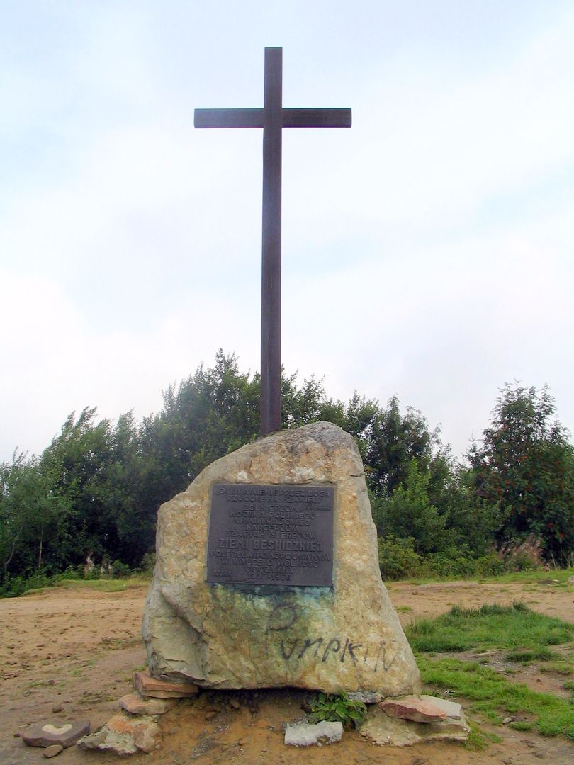
Koczy Zamek (847 m above sea level) is a deforested hill within the Międzygórze Jabłonkowsko-Koniakowskie range, classified as part of the Silesian Beskids according to Jerzy Kondracki's regionalization. Located in the Silesian Voivodeship, it rises within the Carpathian watershed ridge, separating the river basins of the Soła and Olza rivers. The hill's geology is based on Krosno sandstones of the pre-Magura series, and its western slope has been undercut by a local quarry. The site also holds communication significance, as a road connecting Koniaków and Milówka runs along its southern side. The etymology of the name Koczy Zamek is linked to a legend about a Hungarian count named Kocsi, who supposedly had a castle here and met a tragic fate due to his love for local highland women, highlighting the cultural aspect of the region. However, a more plausible explanation for the name relates to the Hussite Wars, where "kocsi" means wagon, and such hills served as provisional fortifications for the Taborites. Koczy Zamek is a popular tourist spot, offering excellent views comparable to those from Ochodzita, and is easily accessible from a nearby parking area. A blue hiking trail from Zwardoń to Barania Góra runs along the hillside, providing tourists with opportunities to explore the area and immerse themselves in the region's history and legends.
Location
2026 Wizytor | All Rights Reserved