Kurowska Mountain
6.43
Overview
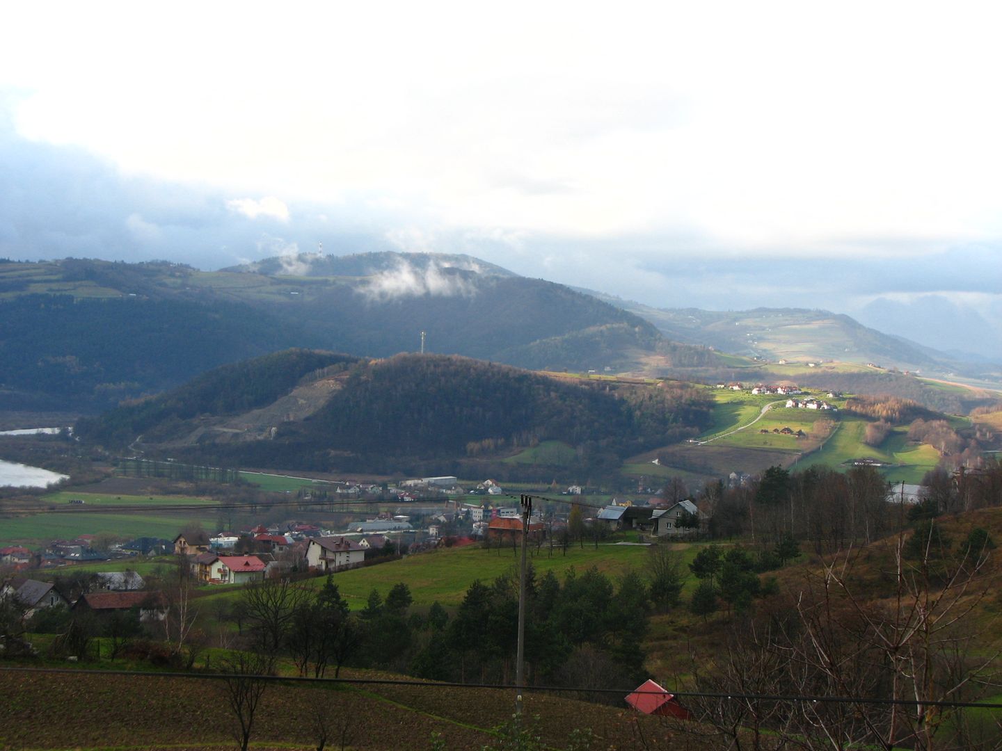
Kurowska Góra, standing at 402 meters, is a picturesque peak located in the Rożnów Foothills within the village of Kurów, at the strategic junction of national and regional roads. Its southern slopes, near road no. 75, hide an active quarry, highlighting the region's geological richness. The mountain is mostly forested, making it ideal for recreation and tourism. The Dunajec River flows along its southern and western foothills, while the northeastern ridge connects it to the higher Dąbrowska Góra, creating a scenic landscape. Also known as Zamczysko, Zamkowa Góra, or Grodzisko, Kurowska Góra holds historical significance; it features the ruins of a Late Lusatian hillfort, once surrounded by a rampart and moat. This stronghold existed in the 13th and 14th centuries, and according to some researchers, it may have been the renowned Lemiesz Castle, adding to the site's appeal by perfectly blending defensive architecture with the region's rich history. The presence of the hillfort attests to ancient settlement processes and the area's military-defensive importance, which, combined with its natural beauty, makes Kurowska Góra an intriguing point on the tourist map.
Location
2026 Wizytor | All Rights Reserved