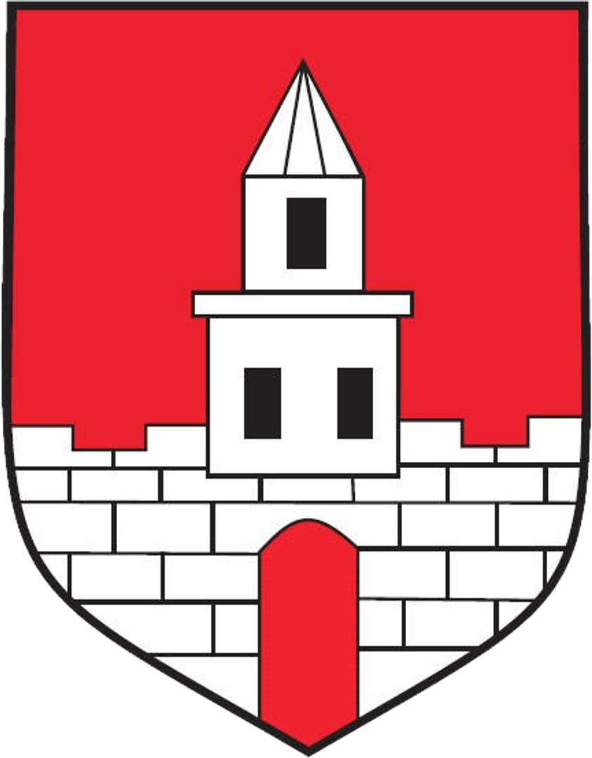
Lelów
6.03

Overview
The Lelów municipality, located in the Silesian Voivodeship, in the Częstochowa County, covers an area of 120.81 km², of which 65% is agricultural land and 26% is forest land. The municipality, which was named Sokolniki until 1870, is an important point on the local map, constituting 7.95% of the county's area. The seat of the municipality is the town of Lelów, which for years has served administrative and social functions for the local residents. According to data from June 30, 2004, the municipality had 5,265 inhabitants. The municipality comprises many localities, including Biała Wielka, Bogumiłek, Gródek, Konstantynów, and Lgota Gawronna. The region borders the municipalities of Irządze, Janów, Koniecpol, Niegowa, Przyrów, and Szczekociny. From an architectural perspective, Lelów and the surrounding localities have preserved many traditional buildings that reflect the rural culture of the region, as well as its history. The history of the municipality is rich and dates back centuries, having evolved over various periods, which is visible in the local architecture and social traditions. In 2014, according to demographic data, the municipality exhibited a clear age structure among its inhabitants, which may influence the development of local cultural and social initiatives. An interesting fact is that the Lelów municipality was part of the Częstochowa Voivodeship from 1975 to 1998, which also impacted its administrative and social development. The municipality has the potential for further growth, and its residents benefit from diverse local traditions, cultivating unique aspects of their heritage.
Location
2026 Wizytor | All Rights Reserved