Lubanie
6.51
Overview
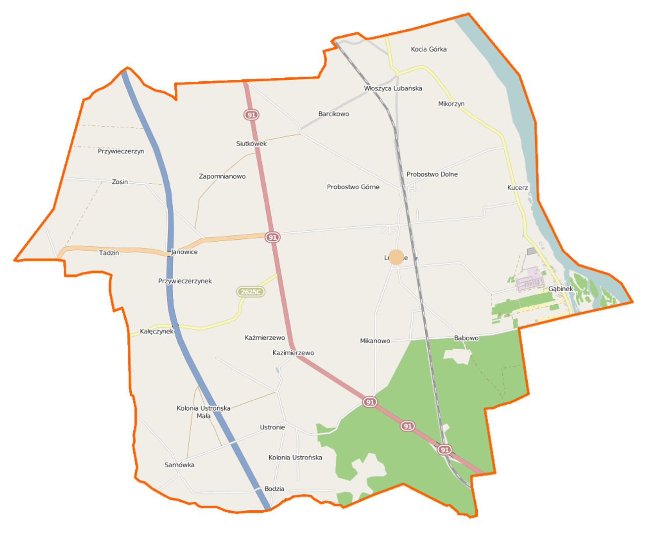
Lubanie is a rural commune in Poland, located in the Kuyavian-Pomeranian Voivodeship, within Włocławek County. The administrative seat of the commune is the village of Lubanie. The commune covers an area of 6,930 hectares, a significant portion of which is agricultural land (72%), while forests and woodland account for 21%. The commune borders Aleksandrów County and the city of Włocławek, with the Vistula River serving as its natural boundary. The history of the commune dates back to 1867, when it was first established as a collective commune in the Kingdom of Poland. It subsequently underwent various administrative changes, including its transfer to the Pomeranian Voivodeship in 1938 and further transformations during the Polish People's Republic era. The commune was dissolved in 1976 but was reestablished in 1982. Currently, it is part of the Kuyavian-Pomeranian Voivodeship, having been reintegrated into Aleksandrów County in 1999. The commune includes villages such as Barcikowo, Bodzia, Gąbinek, Janowice, Kucerz, and many others, each with its own unique characteristics. In Lubanie, one can find the parish church complex dedicated to St. Nicholas, which includes a brick church built in 1909 and a bell tower. This is one of the few registered immovable monuments in the commune. The population of the commune was 4,692 in 2004, and according to 2017 data, it had 4,611 inhabitants. The architectural and cultural aspects of the commune, set in a picturesque area with a rich history, make it an interesting region that retains its rural and traditional character. Despite numerous administrative and historical changes, the Lubanie commune preserves its unique features and traditions, which form an essential part of the local identity.
Location
2026 Wizytor | All Rights Reserved