Motycz Hillfort
6.57
Overview
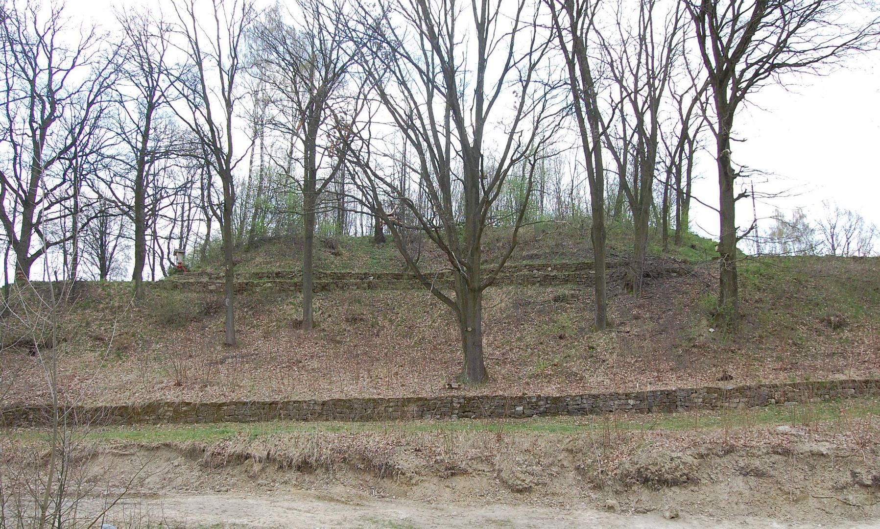
The Motycz stronghold, known as "Bęben," is an early medieval settlement located on a loess promontory of the Czechówka River, in the eastern part of the Nałęczów Plateau, along the Lublin-Kazimierz route. The promontory, approximately 300 meters long and up to 60 meters wide, stands out in the landscape, with its steep slopes covered in dense shrub vegetation, while the larger flat areas are used for agriculture. In the 1960s, explorations were conducted in the Motycz area, leading to the identification of the stronghold's remains. In 1980, local residents brought a large amount of pottery dating back to the 8th-9th centuries to the Department of Archaeology at UMCS, which prompted further research. Archaeologists discovered Funnelbeaker culture pottery and early medieval ceramics across a wide area. Between 1980 and 1983, the stronghold was surveyed, and archaeological verification studies were carried out. Unfortunately, part of the rampart structure was removed due to earthworks during the adaptation of the stronghold into an early modern fortification, dated to the 17th century. In Motycz, there is also a reconstruction model of the stronghold, created by Tomasz Krajewski, which is displayed in the Memorial Room, offering visitors insights into the architecture and history of the site. The Motycz stronghold is an important testament to early medieval culture in the region, combining architectural, cultural, and historical aspects.
Location
City
Motycz
Tertiary Administrative Division
Konopnica
County
Łęczyński County
State
Lublin Voivodeship
Country
2026 Wizytor | All Rights Reserved