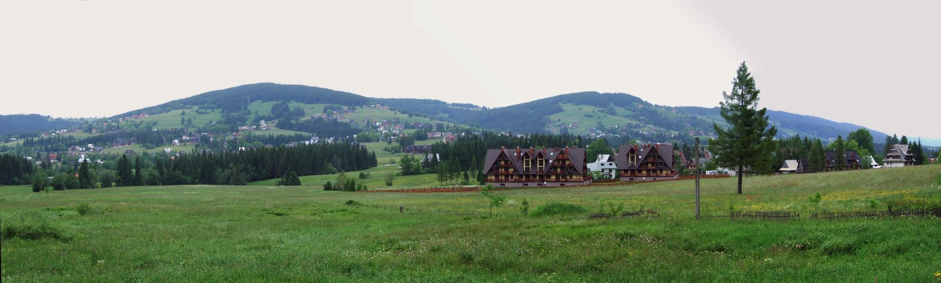
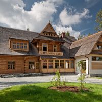
Podhale Basin
6.92
Overview
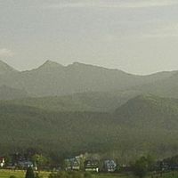
The Sub-Tatra Trough is a physiographic mesoregion located at the northern foothills of the Tatra Mountains, separating the Choczańskie Mountains and the Tatras from the Spisko-Gubałowskie Foothills. It stretches from the western border of Slovakia, through Poland, to the Tatra Basin, reaching elevations between 750 and 1000 meters above sea level. Its quickly recognizable topographic features include a series of basins and valleys, such as the Huciańska Basin, the Zakopane Basin, and other valleys that form a complex hydrographic system, with major watercourses including the Czarny Dunajec and Biały Dunajec rivers.
This region, primarily composed of Eocene marl shales, has a long history of glaciations that shaped its landscape, including gravel covers in the Zakopane Basin. The area is partially forested, lending it a picturesque character. Zakopane, the largest tourist and sports center in Poland, serves as the key hub of the region, attracting up to 2 million tourists annually who come for both winter and summer sports activities. Despite an unfavorable climate characterized by strong foehn winds and temperature inversions, the region offers numerous tourist attractions thanks to its exceptional views, long-lasting snow cover, and well-developed ski slopes.
The Sub-Tatra Trough not only combines tourism and recreational activities but also plays a significant role in the preservation of cultural and natural heritage, making it a destination for nature enthusiasts and those interested in local highlander culture.
Location
Tickets
Powered by GetYourGuide
You can also find here:
Witów
7.72
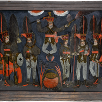
Tatra Museum of Dr. Tytus Chałubiński in Zakopane
7.49
Zakopane

Shores
7.22
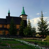
Zakopane Deanery
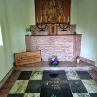
Pęksowy Brzyzek National Cemetery of Distinguished People
7.21
Zakopane

Kościelisko
7.15
Zakopane Deanery
Villa "Oksza"
6.88
Zakopane
Murzasichle
6.86
Zakopane Deanery
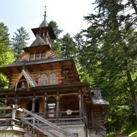
Chapel of the Sacred Heart of Jesus in Jaszczurówka
6.83
Zakopane
"Harenda" Villa
6.7
Zakopane
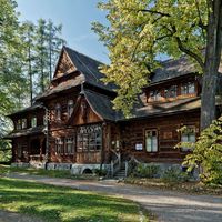
Villa "Koliba"
6.69
Zakopane
2026 Wizytor | All Rights Reserved