Przecław
6.56
Overview
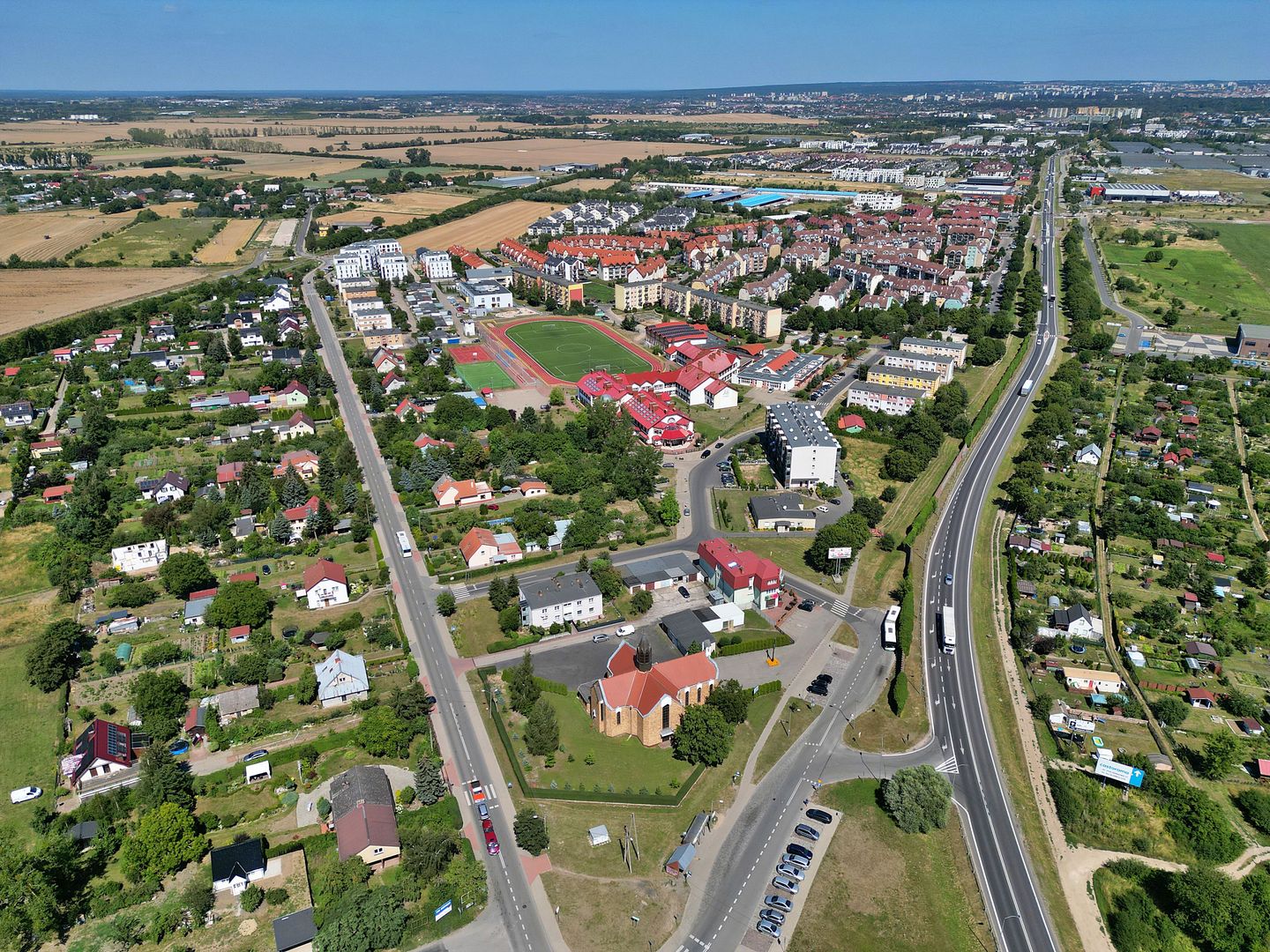
Przecław (German: Pritzlow) is a settlement in northwestern Poland, located in the West Pomeranian Voivodeship, in the Police County, within the administrative district of Kołbaskowo, on the Szczecin Hills. The town is developing, particularly in the area of residential construction, which attracts residents of Szczecin. In Przecław, there is a fish farming pond and transport infrastructure, with national road 13 leading to the A6 motorway. The Przecław and Warzymice bypass project, planned for the years 2014–2023, aims to improve communication, but the construction encountered difficulties related to the contractor, the company Energopol Szczecin S.A. The history of the settlement dates back to the turn of the 6th and 7th centuries, and its name derives from the castellan Przecław, who was said to have arrived with Mieszko I. The first mention of the town dates back to 1240, and until the 14th century it was associated with the Cistercian convent in Szczecin. In the 19th century, the Przecław estate was in the hands of the Kraule family, and later the Kolbe family. From 1939, the settlement was incorporated into Szczecin, and after World War II it was quickly populated by Polish settlers. Today, it is home to public institutions, including a Roman Catholic church and a post office, as well as schools, including kindergartens. Przecław is also the seat of LKS "Victoria 95", which has a long sports history. In 2012, a skatepark was established, supported by European Union funds. An integral part of Przecław's history is the former church, destroyed during World War II, the remains and rich furnishings of which, including a 17th-century altar, remind us of the unique cultural heritage of this town. In 1992, a new temple was built in the area of the settlement, which testifies to the continuation of the religious tradition in the region. Przecław combines history, architecture, dynamic development and local culture, making it an interesting place on the map of West Pomeranian Poland.
Location
2025 Wizytor | All Rights Reserved