Przysłop Pass
6.42
Overview
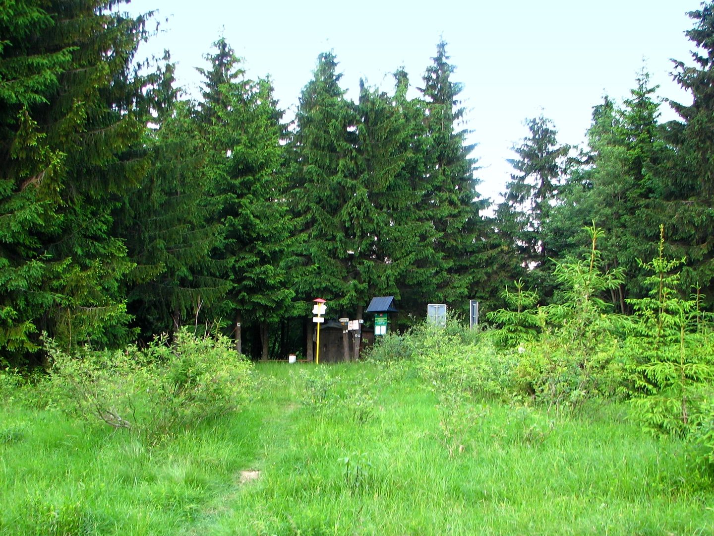
Przełęcz Przysłop, situated in the Beskid Żywiecki at an altitude of 940 meters, lies between the peaks of Wielka Rycerzowa (1226 m) and Świtkowa (1082 m). It is a significant geographical point as it marks the Polish-Slovak border and the course of the Great European Watershed. The northeastern slopes descend into the valley of the Cicha stream, which belongs to the Polish village of Soblówka, while the southwestern slopes lead to the Vychylovka valley and are part of the Slovak village of Nová Bystrica. According to Polish physiographic regionalization, Przełęcz Przysłop is part of the Beskid Żywiecki, while according to Slovak regionalization, it separates the Kysuce Beskids from the Oravské Beskydy. The area around the pass on the Polish side is entirely forested, whereas on the Slovak side, the slopes of the Vychylovka valley are treeless. The pass features a crossroads of hiking trails, making it a popular destination for tourists. Trails lead from Soblówka to Przełęcz Przysłop, from where hikers can continue to the PTTK mountain hut on Rycerzowa and to Podrycerová in Slovakia. A Slovak border trail also passes through here, adding to its unique character as an international route. Przełęcz Przysłop is an important point on the map of the Beskids, attracting both nature enthusiasts and those interested in highland culture, offering unique views and opportunities for active recreation.
Location
2026 Wizytor | All Rights Reserved