Raszków
6.23
Overview
Raszków is an urban-rural municipality located in the Greater Poland Voivodeship, within Ostrów County, with its administrative seat in the town of Raszków. From 1975 to 1998, it was part of the Kalisz Voivodeship. In 2018, the municipality had a population of 11,893 and covered an area of 134.57 km². The region lies on the Kalisz Upland, within the macroregion of the South Greater Poland Plain, and its natural wealth includes 874 hectares of forests, accounting for 6.5% forest cover.
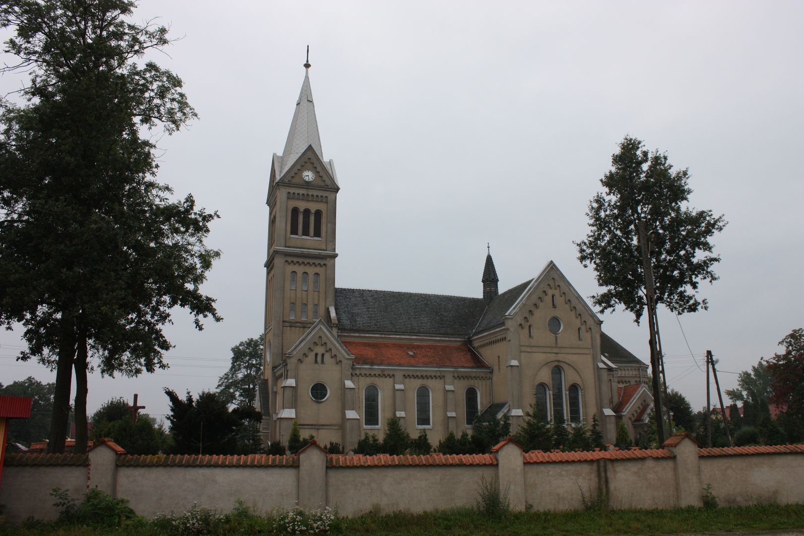
The municipality encompasses protected landscape areas such as the Dąbrowy Krotoszyńskie Baszków–Rochy and Natura 2000 sites. Key forms of nature protection include habitats for plants and animals, as well as a natural monument—a black pine in Przybysławice. It is also worth noting that the municipality boasts interesting historical landmarks, such as palaces and parks in Bugaj, the Church of St. Adalbert in Janków Zaleśny, and the Church of St. Catherine in Pogrzybów, built between 1801 and 1806. In Raszków, the urban layout has been preserved, with archaeological settlement layers dating back to the 15th–19th centuries, highlighting the historical significance of the area. The ruins of the Chapel of the Annunciation of the Blessed Virgin Mary in Skrzebowa, dating to the late 16th century, are another element of its architectural heritage.
In 2017, the municipality had 8.6 km of bicycle paths, promoting active recreation for both residents and tourists. Raszków is characterized by an agricultural economy, with nearly 90% of its area dedicated to farmland. In 2017, there were 1,085 registered businesses in the municipality, and the municipal income per capita was 4,079 PLN. The settlements within the municipality include not only the town of Raszków but also a number of villages, such as Bieganin, Janków Zaleśny, Pogrzybów, and Moszczanka. Raszków combines cultural and historical values with natural attractions, making it an interesting destination for tourists and a cherished home for local residents.
Location
2026 Wizytor | All Rights Reserved