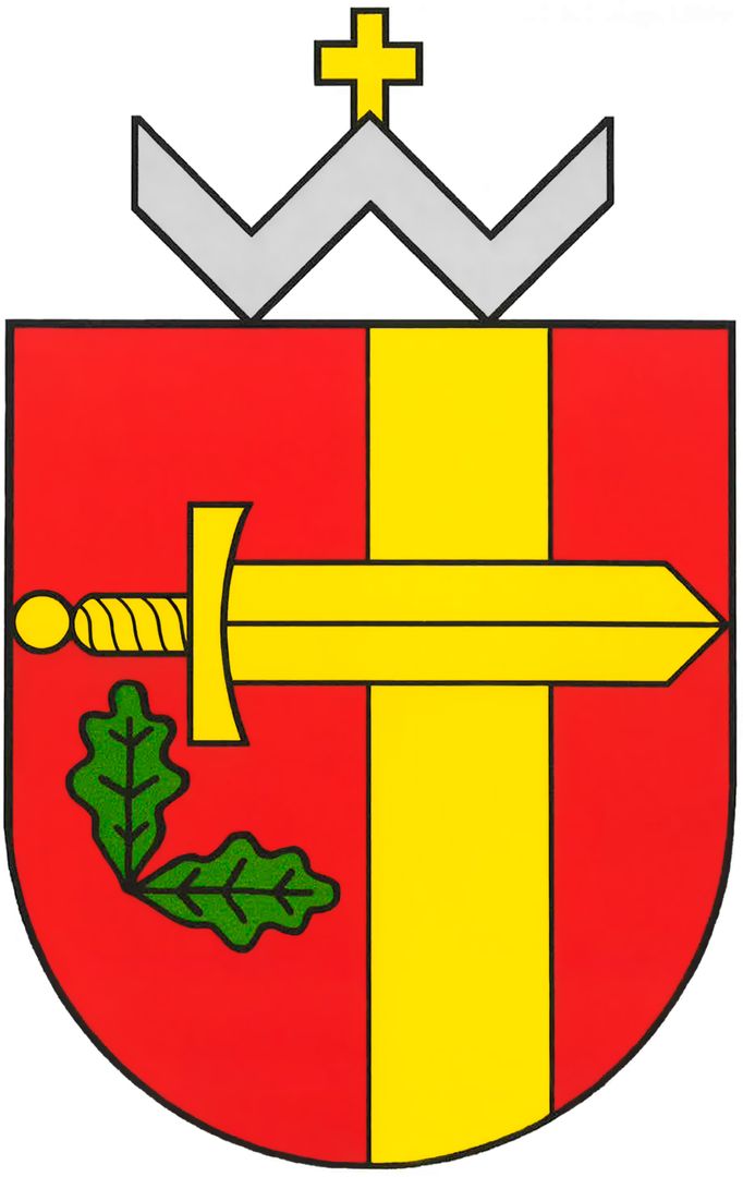
Rembertów
6.37

Overview
Rembertów is a district of Warsaw, located on its right bank, and is considered one of the smallest units in terms of population. Its history dates back to the 15th–16th centuries, and the name likely originates from Fyodor Wilhelm Rembert von Berg, the last governor of the Kingdom of Poland. In the 19th century, in 1866, a station was established on the Warsaw-Terespol Railway line, which contributed to the development of the settlement, which had only 44 inhabitants in 1905. During the interwar period, Rembertów gained city status and attracted military investments, including an Ammunition Plant and an Infantry Training Center. During World War II, the town was a site of intense activity for the Home Army and had its own ghetto. After the war, Rembertów underwent numerous transformations; in 1957, it was incorporated into Warsaw as part of the Praga-Południe district. Today, the district is characterized by low population density and a large amount of green space—over 30% of its area is covered by forests. Rembertów is home to various educational institutions, including 5 primary schools and 1 high school. In recent years, Rembertów has gained importance due to its location and peaceful atmosphere, becoming an attractive place for families and those seeking greenery in the city. It is also worth mentioning the Kawęczyn Nature Reserve, established in 1998, which further promotes the idea of protecting local flora and fauna in the area.
Location
Tickets
Powered by GetYourGuide
2026 Wizytor | All Rights Reserved