Rozłazino
6.1
Overview
Rozłazino is a Kashubian village located in the Pomeranian Voivodeship, within Wejherowo County, serving as the administrative seat of a local district that also includes nearby settlements. According to data from the end of 2011, the village is inhabited by 978 people and covers an area of 26.36 km². Situated at an altitude of approximately 120 meters above sea level, Rozłazino lies along the route of the former Kartuzy–Lębork railway line.
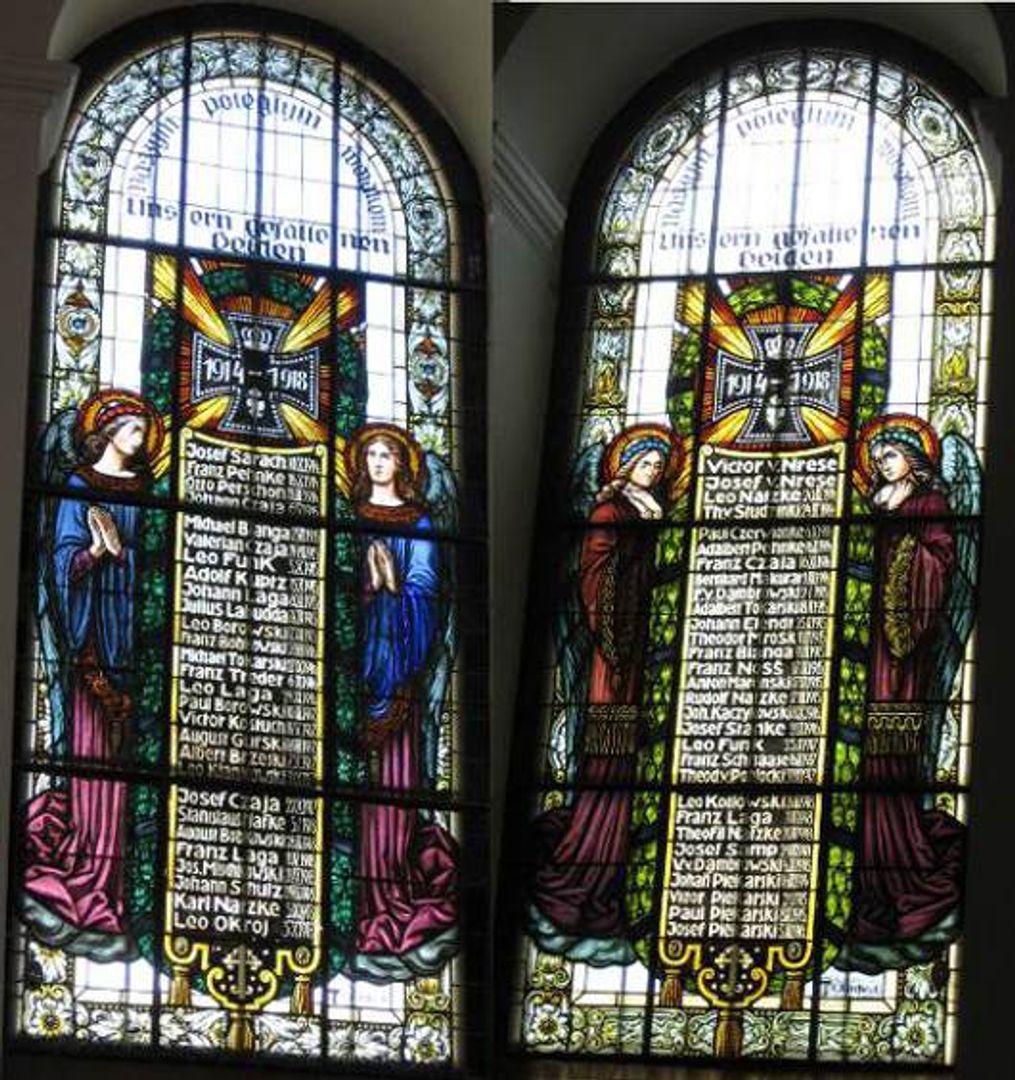
The history of the settlement dates back to at least the 13th century, when a church and a village already existed here. The first written records come from 1356 and are related to the location of the village by the Commander of Gdańsk. In the 15th century, Rozłazino became the seat of a Catholic parish, which survived until the Reformation. A new church was built in 1687, and the structure was subsequently renovated in the 19th century. Historical monuments such as a school from the turn of the 19th and 20th centuries and a disused distillery have also been preserved.
After World War II, Rozłazino underwent significant demographic changes when, following the displacement of Germans, Poles settled in the area. The village is home to a Volunteer Fire Department and a primary school. The current name, Rozłazino, was officially introduced in 1947. In 2006, a monument to St. John Paul II was unveiled. It is worth noting that the village was an important communication hub in the Middle Ages, connecting Gdańsk with other regions of Kashubia, underscoring its historical significance.
Location
2026 Wizytor | All Rights Reserved