Smętowo Graniczne
6.94
Overview
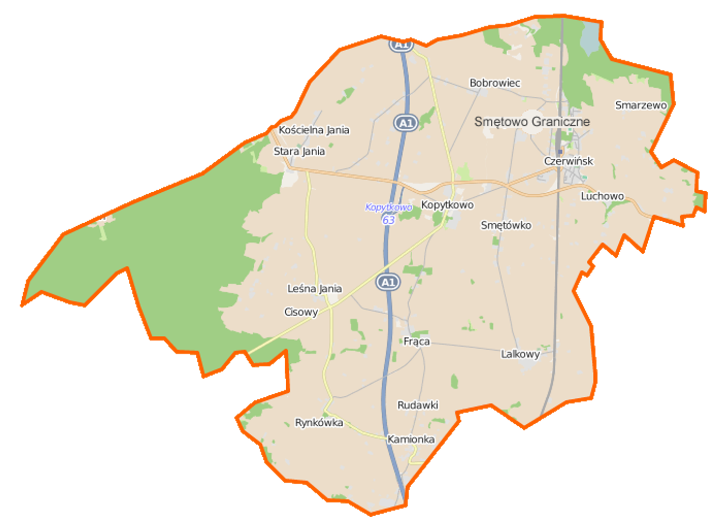
Smętowo Graniczne, located in the Pomeranian Voivodeship within the Starogard County, is a rural municipality with a rich history and diverse infrastructure. The municipality consists of 12 village districts (sołectwa), such as Bobrowiec, Kopytkowo, and Rynkówka. It covers an area of 86.12 km², of which 73% is agricultural land and 18% is forested, highlighting its natural richness. The area is well-connected by transportation routes, including provincial roads and the A1 highway with an interchange in Kopytkowo, facilitating easy access to the region. The municipality also benefits from rail connections via the Silesia–Gdańsk mainline.
Culturally, notable sites include the Kociewie Cultural Center in Lalkowy and the Historical and Educational Center in Frąca, both of which promote local traditions and history. Among the historical landmarks is the palace in Rynkówka, adding to the region’s charm. From a historical perspective, Smętowo Graniczne has undergone various administrative and political changes, from the Piast dynasty era, through Teutonic rule, to being part of Prussia and Poland, reflecting the area’s rich cultural heritage. The municipality witnessed significant transformations over the centuries and played a role in the Polish underground state during World War II.
Knowledge of local history and traditions remains important to residents, and Smętowo Graniczne serves as an excellent example of a region where history and contemporary culture intertwine in everyday life. The municipality also attracts attention with its natural landscapes and welcoming climate, making it an appealing destination for tourists. Additionally, it is worth noting the presence of settlements without formal village district status, such as Czerwińsk and Kulmaga, showcasing the area’s diverse settlement patterns. Neighboring municipalities, like Gniew and Osiek, contribute to regional cooperation and development, positioning Smętowo Graniczne as a significant point on the map of Pomerania.
Location
2026 Wizytor | All Rights Reserved