Weight
6.64
Overview
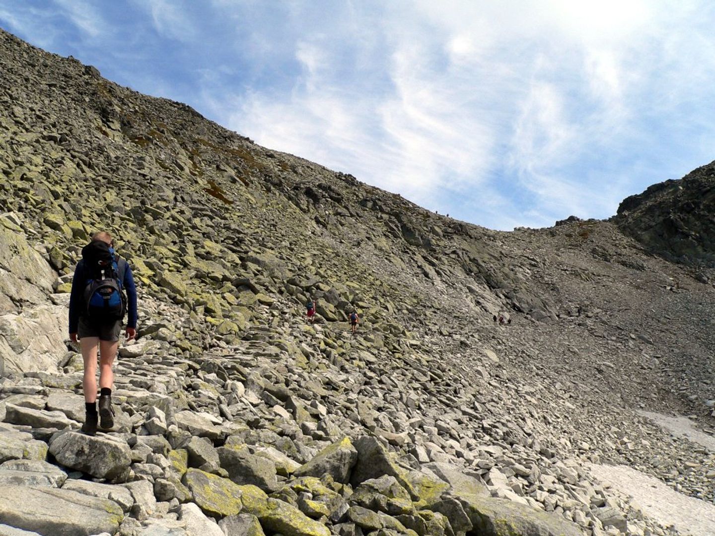
The red hiking trail in the Tatra Mountains, branching off from the blue trail in the Mięguszowiecka Valley, leads through the Żabia Mięguszowiecka Valley to Rysy. The walking time from Štrbské Pleso to the start of the trail is about 1 hour and 45 minutes, and the red trail to the mountain hut also takes 1 hour and 45 minutes. From the hut, the summit of Rysy can be reached in about an hour. Waga, a broad mountain pass in the High Tatras, is situated at an altitude of 2,336 meters and separates Ciężki Szczyt from Kopa nad Wagą. The name of the pass likely originates from Slovak and was used to refer to the "weight" or significance of the peaks of Rysy and Vysoká. For centuries, Waga was known to hunters and shepherds who smuggled milk to mountain huts. Tourism in this region began to develop in the 19th century, and the pass is now a popular trail. The first recorded summer ascent by tourists took place on July 20, 1840, while the first winter ascent occurred on April 10, 1884. Waga Pass and the trails to Rysy are an important part of the cultural and touristic heritage of the Tatra Mountains, attracting mountain hiking enthusiasts to explore the beauty of these majestic peaks.
Location
Country
2026 Wizytor | All Rights Reserved