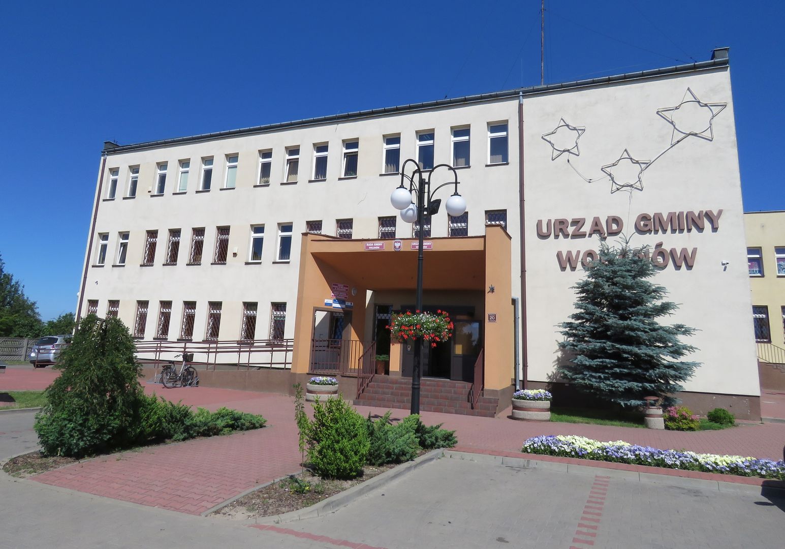
Wolanów
6.64
Overview
The commune of Wolanów, located in the Masovian Voivodeship within the Radom County, is an area with a rich history and diverse demographic structure. The seat of the commune is the town of Wolanów, and according to data from the end of 2019, the commune had a population of 8,906. It covers an area of 82.85 km², of which 87% is agricultural land and 5% is forested. Historically, during the time of the Kingdom of Poland, the commune belonged to the Radom County in the Radom Governorate, and in 1870, Wolanów—which had previously lost its town rights—was incorporated into it. The commune of Wolanów was established on January 13, 1867, as a result of administrative reform, which speaks to its long-standing tradition. Among the village districts within the commune are Bieniędzice, Chruślice, Kowala-Duszocina, Młodocin Większy, and Zabłocie, indicating a varied settlement structure. Neighboring communes, such as Kowala, Orońsko, Radom, and Szydłowiec, shape the socio-economic context of the region. Due to its agricultural character, the commune is also an interesting destination for those interested in agritourism and local traditions. It is worth noting that despite its small size, the commune of Wolanów holds a place in Polish history, and its development from the partitions era to the present day reflects broader processes taking place in the country.
Location
2026 Wizytor | All Rights Reserved