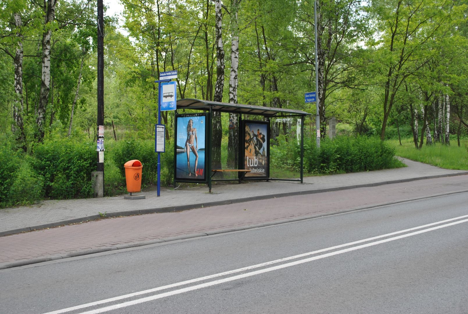
Załęska Hałda
6.67

Overview
Załęska Hałda is a district of Katowice, located in the western part of the city, encompassing the neighborhoods of Osiedle Witosa, Załęska Hałda-Brynów, and Załęże. Historically, the area developed as an agricultural settlement, and its name derives from former dumping grounds associated with iron ore mining. In the 19th century, Załęska Hałda transformed into a working-class settlement dominated by the presence of steelworks and coal mines, which influenced the development of local infrastructure and population growth. The transportation network, including the A4 highway and railway lines, significantly contributed to the region's dynamic development, with F. Bocheński Street becoming the main economic hub, attracting numerous companies, especially in the automotive industry. It is worth noting that Załęska Hałda is home to the Catholic parish of St. Cyril and Methodius, as well as memorial sites honoring residents who perished in World War II. The architecture of the settlement is diverse, featuring buildings primarily from the turn of the 19th and 20th centuries and the post-war period, with the greatest historical value attributed to the colonial-style workers' housing of the "Wujek" mine, designed by Bruno Taut. Local culture, nurtured by various associations and organizations, has shaped the community's identity. An interesting fact is the existence of a plaque commemorating the residents of Załęska Hałda, as well as the history of the Finnish-style housing colony, which was demolished in the 1970s to make way for a new housing estate. Today, Załęska Hałda is primarily residential and service-oriented, and its green spaces are remnants of the Załęski Forest, contributing to the quality of life for its residents.
Location
Tickets
Powered by GetYourGuide
2026 Wizytor | All Rights Reserved