Załuski
6.39
Overview
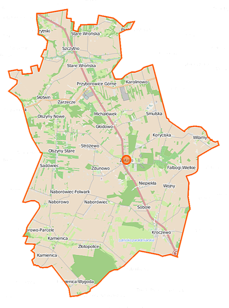
The municipality of Załuski, located in the Masovian Voivodeship within Płońsk County, boasts a rich history and a diverse demographic and geographic structure. It was established as a result of administrative reform, and its seat is the village of Załuski. The municipality covers an area of 111.65 km², with agricultural land dominating, accounting for 81% of the total area. The surrounding area includes larger towns such as Płońsk and Nowy Dwór Mazowiecki, located approximately 16 km and 40 km away, respectively. Demographic data shows that the number of inhabitants in the municipality has slightly increased in recent years, from 5,437 people in 2004 to 5,682 in 2017, followed by a slight decrease to 5,669 in 2019. The municipality consists of numerous village administrative units, such as Falbogi Wielkie, Kamienica, Kroczewo, and Przyborowice, as well as several smaller settlements. The community demonstrates a strong attachment to tradition, which is reflected in local festivals and cultural events, and the region's history is rich and varied. The municipality borders other municipalities, which influences its social and economic development. An interesting fact is that the municipality constitutes 8.07% of the area of Płońsk County, highlighting its significance in competing for funds and regional development initiatives. Its unique cultural and historical identity is not only a source of pride for its residents but also a valuable asset in the context of local development and the promotion of native culture.
Location
2026 Wizytor | All Rights Reserved