Bródno Canal
6.16
Overview
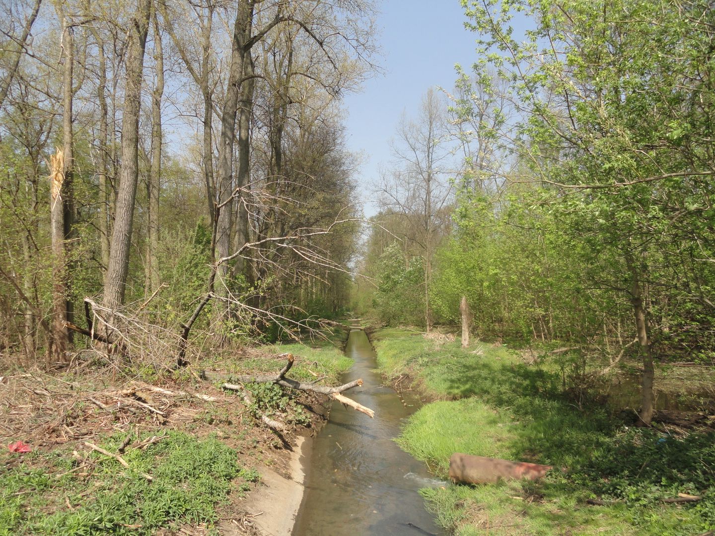
The Bródno Canal, located in Warsaw, was excavated in the second half of the 19th century as a drainage canal for the marshy areas of the former Brodnia and Rewa rivers. As a result of the construction of the Żerański Canal in the 1960s, the canal was divided into two parts: the Upper Bródno Canal and the Lower Bródno Canal. The revitalization of the Bródno Canal began in 2009, when the authorities of Targówek initiated efforts to bring administrative and technical order to Warsaw's canals. This led to the creation of technical documentation, which revealed the poor condition of the canals, their blockages, and pollution from illegal sewage discharges. Between 2010 and 2011, regulatory works were carried out, encompassing a wide range of activities from dredging to the construction of fascine fences. In 2012, the Zaciszański Canal was revitalized, followed by the Drewnowski Canal. On Targówek Fabryczny, the Bardowski Reservoir was created, serving multiple functions from flood control to recreation. The surroundings of the canals were developed into recreational spaces, such as squares, playgrounds, and even educational areas for children, taking advantage of the diverse vegetation that attracts wildlife. The Upper Bródno Canal, approximately 10.94 km long, previously received industrial wastewater. However, since the closure of industrial plants, its sanitary condition has improved, allowing fish and local organisms to reappear. It is now fed solely by rainwater, with no natural inflows. The Lower Bródno Canal, about 16 km long, flows into the Narew River, and its course runs through many Warsaw neighborhoods and the municipality of Nieporęt. As part of the revitalization, further actions are planned, including the construction of new pedestrian and bicycle paths, as well as kayak docks. These efforts not only improve the technical condition of the canals but also integrate them into the cultural and recreational landscape of the capital. This canal system, rooted in the 19th century, bridges history with the modern needs of residents, serving ecological and social functions, and stands as an example of public space revitalization and sustainable development.
Location
Tickets
Powered by GetYourGuide
2026 Wizytor | All Rights Reserved