Bran's River
6.55
Overview
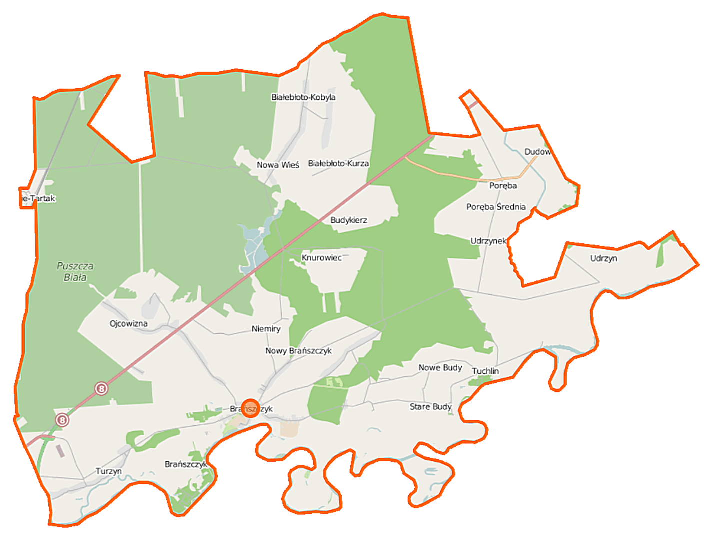
The municipality of Brańszczyk, located in the Masovian Voivodeship, within the Wyszków County, covers an area of 167.61 km², dominated by agricultural and forest land (each accounting for 46%). The seat of the municipality is the town of Brańszczyk. Historically, between 1921 and 1939, the municipality was part of the Ostrów County in the Białystok Voivodeship. Following the aggression of the Third Reich against Poland, it came under German occupation as part of the General Government. From 1975 to 1998, the municipality belonged to the Ostrołęka Voivodeship. According to demographic data, in 1921, the municipality was inhabited by 7,332 people, predominantly Roman Catholics. Modern data from 2011 indicate a population of 8,605 residents. The structure of the village administration within the municipality includes, among others, Brańszczyk, Białebłoto, and Nowy Brańszczyk, as well as numerous localities such as Budykierz, Poręba, and Dębienica. The municipality features numerous architectural and cultural elements that testify to its historical heritage. Brańszczyk is also surrounded by greenery, which encourages recreational activities. It borders municipalities such as Brok, Długosiodło, and Wyszków, facilitating access to various local attractions. The municipality is characterized by a harmonious blend of agricultural and forest traditions, making it an interesting place in terms of culture and quality of life.
Location


2026 Wizytor | All Rights Reserved