Chrostkowo
6.46
Overview
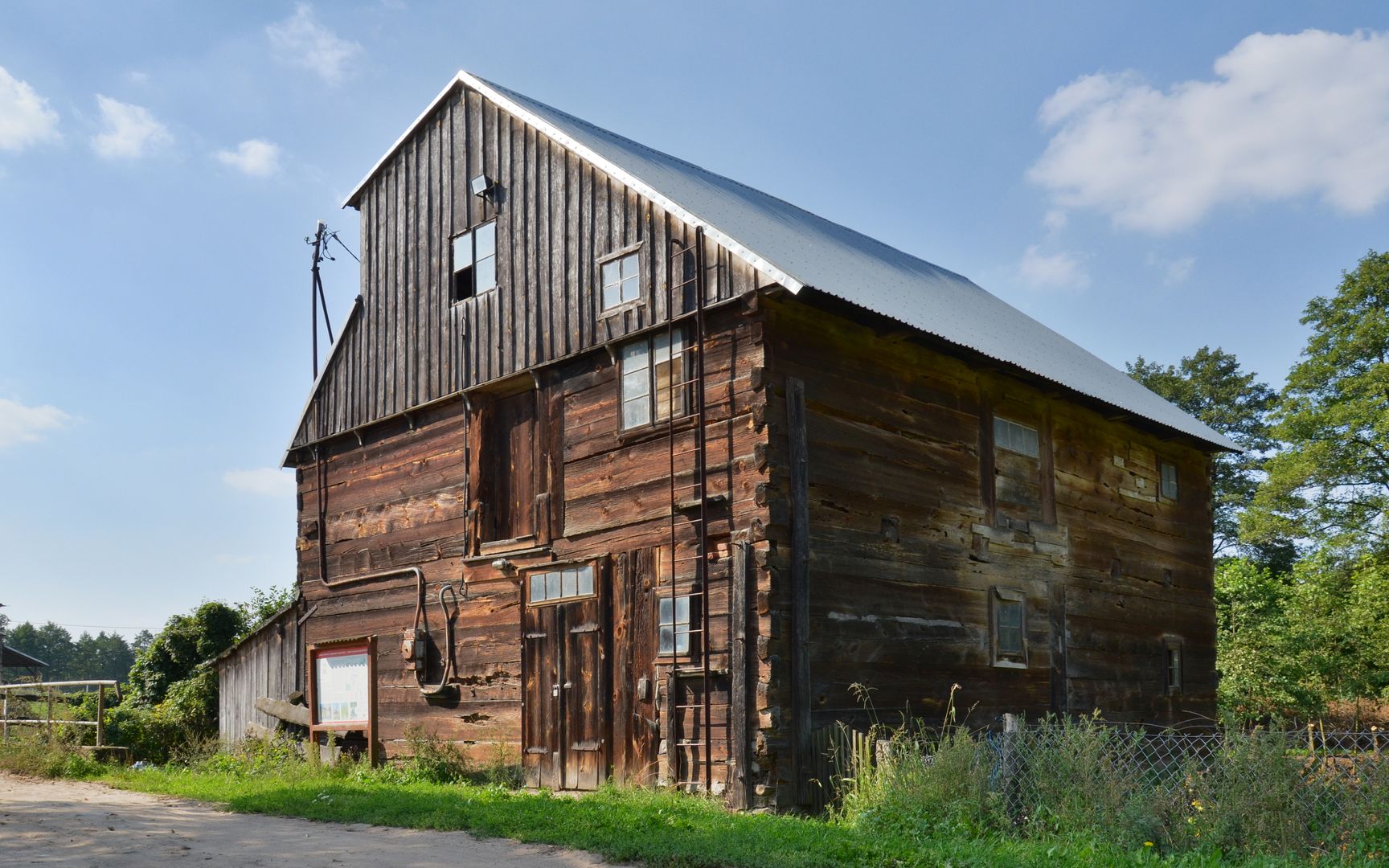
Chrostkowo is a rural municipality in the Kuyavian-Pomeranian Voivodeship, within the Lipno County, established in 1867. The administrative seat of the municipality is the village of Chrostkowo, and it covers an area of 74.08 km², dominated by agricultural land (81%) and forests (9%). In 2013, the municipality had a population of 2,990. The area boasts a rich historical and cultural heritage. The "Napoleonic Route" runs through its territory, and during the January Uprising in 1865, battles were fought here against the Tsarist occupier, commemorated by a monument in Nietrzeba honoring the fallen insurgents. During World War II, the municipality was incorporated into Nazi Germany, and its borders were altered. After the war, the pre-1939 status was officially restored, though many of the implemented changes remained in effect de facto. The municipality was reinstated in 1973 and has belonged to Lipno County since 1999. Architecturally, the municipality offers many attractions, including the wooden Church of St. Barbara from around 1694, 19th-century granaries, and a wooden water mill in Nietrzeba. The area is also known for its unique glacial landforms called drumlins, with the Chrostkowo hills standing out in the landscape. The municipality comprises 15 villages, including Adamowo, Kawno, and Stalmierz, and borders the municipalities of Brzuze, Kikół, Lipno, Rogowo, Skępe, and Zbójno. Interestingly, the municipal coat of arms features a birch tree, symbolizing the region's lush greenery, and a sheaf of grain, reflecting the traditional agricultural character.
Location
2026 Wizytor | All Rights Reserved