Droszków
6.4
Overview
Droszków is a picturesque sołectwo (administrative village unit) located in the Kłodzko Valley in the Lower Silesian Voivodeship. Its history dates back to at least the mid-13th century, although the first written records appear only in 1357, associated with the von Czeschwitz family. The village gained significance in the Middle Ages when, in 1405, Hering of Jaszkowa Górna founded the burial chapel of St. Barbara. Droszków was a free judicial district, and in the 18th century, it came under the rule of the Kingdom of Prussia. After World War II, the village was resettled by Poles following the displacement of the German population.
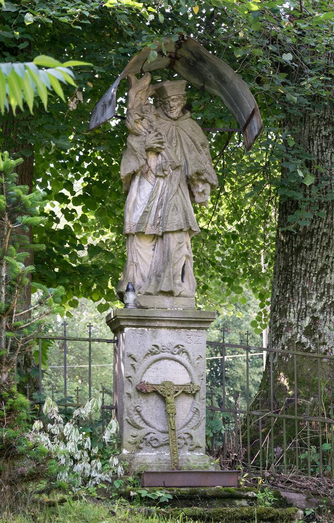
Architecturally, Droszków is distinguished by its filial church of St. Barbara, which was built between the 15th and 19th centuries and remodeled in the Baroque style in the 17th century. Other heritage sites include residential houses from the late 19th century, with the most interesting ones located at numbers 4, 14, and 35, as well as a group of chapels and Marian columns that testify to local religiosity and tradition. Among them is a Marian column from 1699 and a statue of St. John of Nepomuk from 1782.
An interesting fact is that despite its attractive mountainous location, Droszków did not develop into a tourist destination. The village covers just 4.69 km², and in 2008, its population was only about 50% of what it was in the mid-20th century. Most residents make a living from agriculture; in 1978, there were 22 active farms, but by 1988, that number had dropped to just 15. Due to its location, Droszków is intersected by hiking trails, including a popular route to Ptasznik.
Droszków does not have its own parish; residents belong to the parish in Jaszkowa Górna. During the interwar period, there was an elementary school in the village, but today children attend school in Jaszkowa Dolna. Despite its low level of tourism, the village offers scenic views and tranquility, making it an interesting place for visitors to the Kłodzko Valley.
Location
2026 Wizytor | All Rights Reserved