Gajowa Street in Wrocław
6.67
Overview
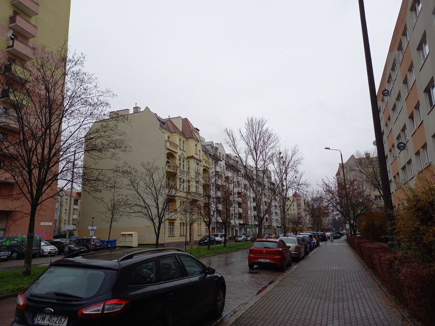
Gajowa Street in Wrocław, with a length of 995 meters, runs through the Huby neighborhood in the Krzyki district. Its history dates back to the 19th century when it was established on the site of the former Strzelińska road, connecting Wrocław with the village of Gaj. The street was previously named Hauptstrasse and Herdainstrasse before adopting its current name in 1946, assigned by the Wrocław City Council. From an urban planning perspective, Gajowa is characterized by diverse architecture; the southern section is dominated by rows of tenement buildings, ranging from 5 to 12 stories high, reflecting Art Nouveau and modernist architectural styles. The eastern side of the street is entirely built up with tenements and post-war buildings, while the western side includes green areas such as the Gaje Family Allotment Gardens and sports fields. Gajowa is also protected as part of the historic urban layout listed in the municipal heritage register. Nearby landmarks include the architectural complex of the Upper Silesian Station. The street also features spatial elements such as a green belt separating the roadways and greenery along connecting paths. As a result of wartime actions in 1945, many buildings were destroyed, and reconstruction began in the 1950s, introducing new developments. The street is also an important transportation hub, connecting with other roads and surrounded by public transport stops, although it does not have direct tram lines. Currently, Gajowa, with a speed limit of 30 km/h, functions as a traffic-calmed zone, catering to both pedestrians and cyclists. An interesting fact is that the areas around it have been used for allotment gardens since the 1860s, leaving a lasting mark on the region.
Location
Tickets
Powered by GetYourGuide
2026 Wizytor | All Rights Reserved