Geometric center of Poland
6.98
Overview
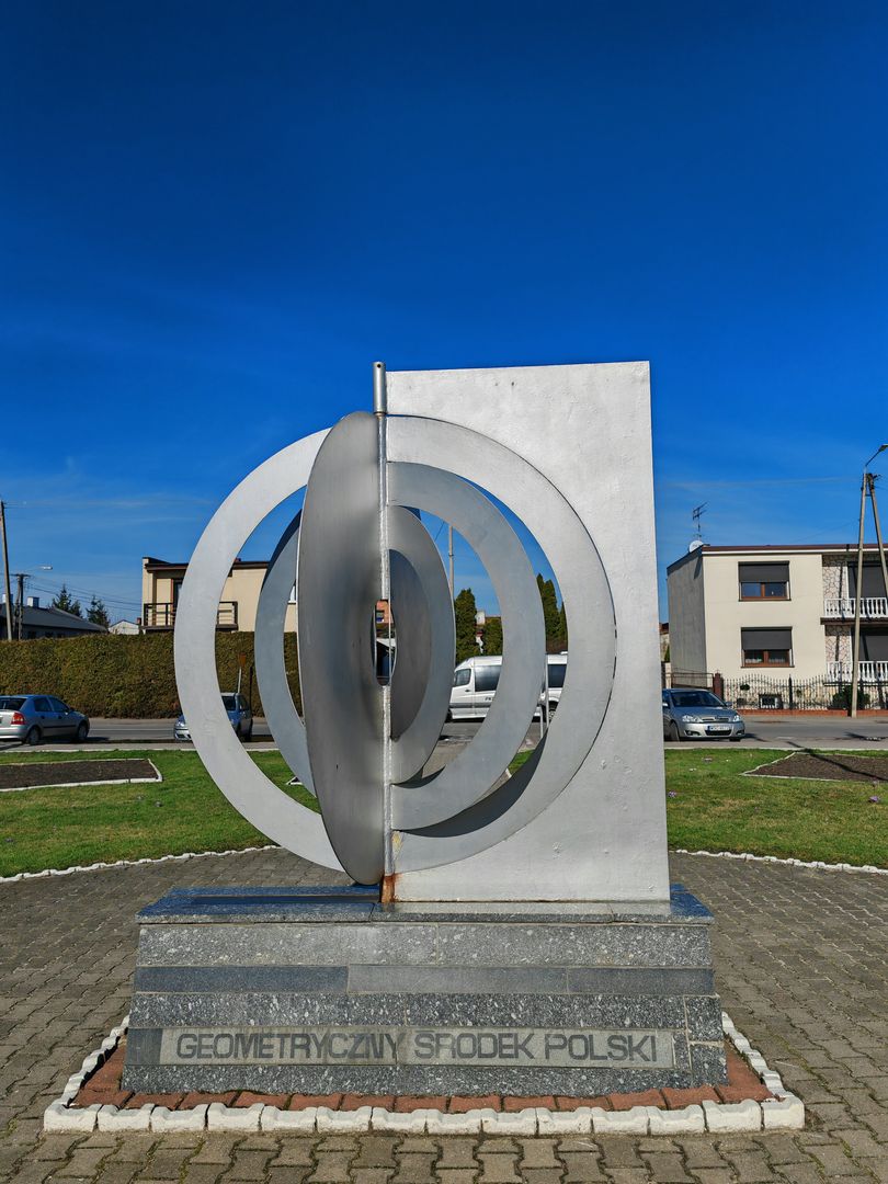
The geometric center of Poland, defined as the centroid of the country's administrative territory, is located in the town of Piątek in the Łódź Voivodeship. In 1966, precise measurements were conducted, revealing that the actual point lies 6.3 km northwest of this town, in the village of Balków, and after recent adjustments to the borders of coastal municipalities, it shifted 20 meters north. Piątek commemorates this point, attracting tourists and sparking the interest of the local community.
Other methods of determining the center of Poland use different definitions, such as the intersection of orthodromes connecting the country's extreme points, which indicates an exact location in Jankowice and Janów. The innermost point, defined as the center of a circle inscribed within the outline of Poland, is located near Stradzewo and is 244 km from the nearest border, which is an interesting fact. Additionally, the center of the circle circumscribed around the outline of Poland is located in Szadek, with a radius of 406 km.
It is worth noting that the definition of the geodetic center of Poland's entire territory, taking into account all territorial and internal waters, points to a location in Nowa Wieś, where a commemorative granite pillar was erected on October 13, 2018. These celebrations took place in the context of the 100th anniversary of Independent Poland and the Year of Polish Geography, strengthening local interest in geodesy and history. An important aspect of this initiative is also the cultural context, linking tourism with education and promoting Poland as a country with a rich history and geospatial identity.
Location
2025 Wizytor | All Rights Reserved