Kutno County
7.17
Overview
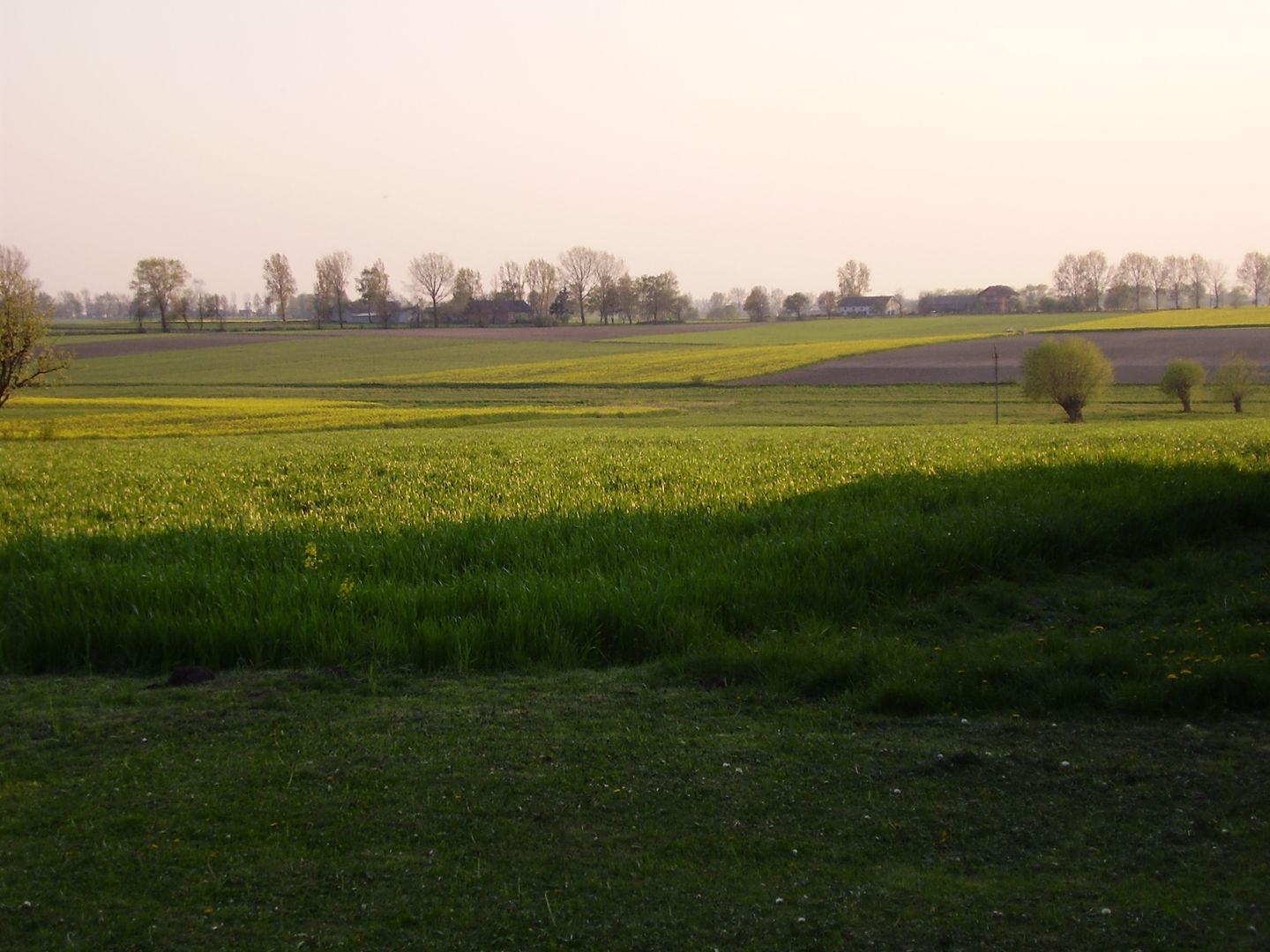
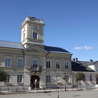
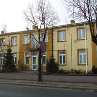
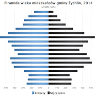
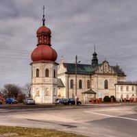
Kutno County, established in 1999, is located in the northern part of the Łódź Voivodeship, with the town of Kutno serving as its capital. It covers an area of 886.86 km², which constitutes 4.87% of the voivodeship's total area. In 2019, the county had a population of 96,569, which decreased slightly to 96,126 by 2020. Geographically, the county lies on the Kutno Plain, with the Bzura River marking its southern border. Emerging from the historical area of the former Gostynin County, Kutno County boasts a rich cultural heritage. Its administrative division includes urban, urban-rural, and rural municipalities, such as Dąbrowice, Krośniewice, and Żychlin. The county is characterized by a diversity of architectural monuments, with many structures representing classicism and other styles. Oporów Castle, built in the 15th century, is an example of late Gothic defensive architecture. The Kutno Town Hall, a classicist building housing the Regional Museum, also stands out among other historic sites. The county features an Evangelical-Augsburg church from 1880, as well as other religious buildings, such as the church in Głogowiec with Gothic elements. An interesting fact is that Kutno County is an important transportation hub, with a network of national roads and railway lines. Transport plays a key role in the region's life, and Kutno is a significant point on Poland's transport map. Religious communities are also active in the county, including the dioceses of Łowicz and Warsaw, which contributes to the diversity of cultural life. Additionally, Kutno County preserves traditions and organizes local events that promote regional culture and history, making it a place with a rich cultural and historical heritage that deserves attention.
Location
State
Łódź Voivodeship
Country


2026 Wizytor | All Rights Reserved