Hawk
6.19
Overview
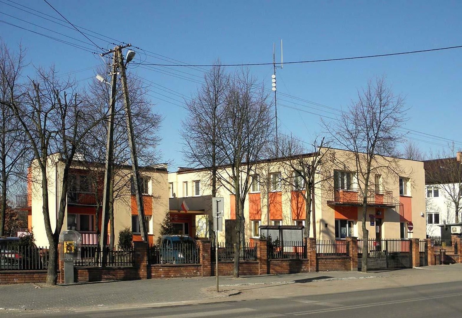
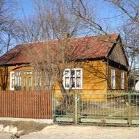
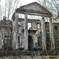
The municipality of Jastrzębia, located in the Masovian Voivodeship within Radom County, boasts a rich history dating back to before 1954, when it operated as the municipality of Kozłów. The municipal seat, Jastrzębia, is situated in an area covering approximately 89.51 km², predominantly characterized by agricultural land (79%) and forests (14%). Between 1975 and 1998, the municipality was part of the Radom Voivodeship. According to demographic data, the population increased from 6,347 in 2004 to 6,996 in 2019, indicating stable development. In 2002, the average income per capita was only 1,248.91 PLN, highlighting the economic challenges faced by the municipality. Jastrzębia features a rich system of villages, including Bartodzieje, Dąbrowa Jastrzębska, Kozłów, Lesiów, and Wola Goryńska. The area is rich in local traditions and community life, combined with the picturesque landscapes of its various villages, making it an attractive place to live. In terms of its surroundings, Jastrzębia borders municipalities such as Głowaczów, Jedlińsk, and Pionki, fostering cultural and economic exchange with its neighbors. The municipality offers both opportunities for individual growth and active participation in local community life. An interesting historical note is the relocation of the municipal seat to Lesiów in the 1970s, reflecting the dynamic administrative development of the area.
Location
You can also find here:
2026 Wizytor | All Rights Reserved