Husin's Little Farm
6.48
Overview
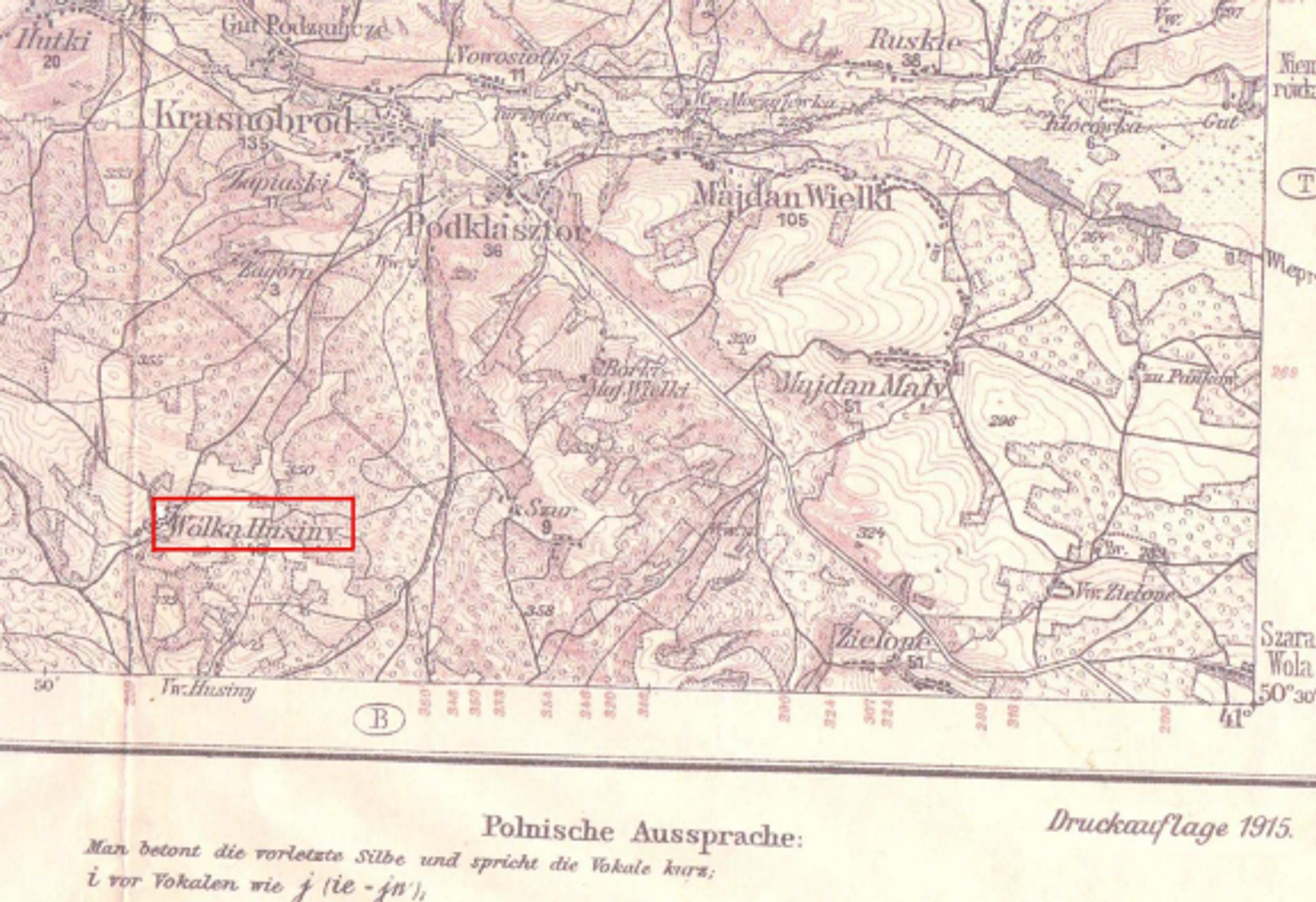
Wólka Husińska is a village in the Lublin Voivodeship, located in the municipality of Krasnobród, with a population of 429 according to the 2011 National Census. The village functions as a sołectwo (administrative rural subdivision), and its Catholic residents belong to the Parish of the Visitation of the Blessed Virgin Mary in Krasnobród. The etymology of the name Wólka Husińska relates to the neighboring village of Husin and the prefix "Wola," indicating historical settlement privileges known as wolnizny. Researcher Zygmunt Węgorz derives the name from the Ukrainian word "hus," meaning goose. The village is situated in the Roztocze region, surrounded by the Krasnobród Landscape Park, making it an attractive tourist destination. The total area of the village is 1094.79 hectares, of which 519.57 hectares are agricultural land. The history of Wólka Husińska dates back to the 14th century, with the first written mention in 1620. Its initial settlers were primarily peasants who arrived after being persecuted by the Hussites. After World War I, the village underwent land reform, and in 1921, it had 75 houses and 538 inhabitants. The 1930s brought development thanks to a glass factory that employed local residents. After World War II, the village experienced dynamic infrastructure improvements—paved roads, electrification, the construction of a school, and a fire station. Local culture revolves around the Volunteer Fire Department (OSP) and the Rural Housewives' Circle, and in 1985, a filial church dedicated to St. John the Baptist was established. The economy is based on small businesses and agriculture, though residents face social exclusion, which hinders development. The village has a moderate climate, and its technical infrastructure is basic, with access to electricity and water, which shapes daily life. As part of a rural area struggling with peripherality, Wólka Husińska shows engagement in local matters, as evidenced by initiatives such as the volunteer-led renovation of the fire station.
Location
2025 Wizytor | All Rights Reserved