Kondratowice
6.18
Overview
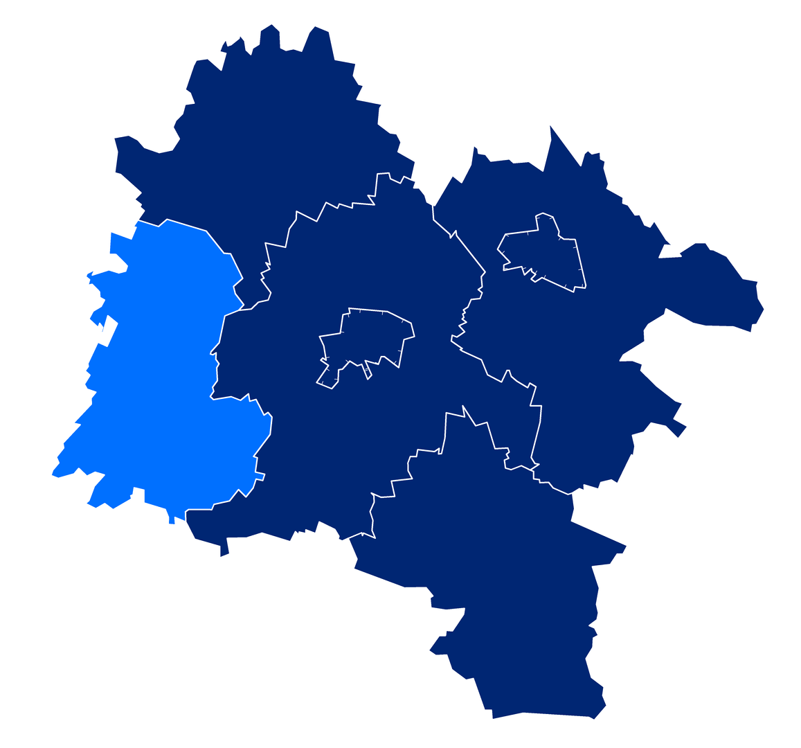
Kondratowice is a rural commune in the Lower Silesian Voivodeship, within the Strzelin County, with its seat located in the town of the same name. From 1975 to 1998, the commune belonged to the Wrocław Voivodeship. It borders other communes such as Borów, Ciepłowody, Jordanów Śląski, Łagiewniki, Niemcza, and Strzelin. The main transportation route is national road number 39, which runs through the northern part of the commune. The history of rail transport dates back to the times when railway lines number 304 and 320 ran through the commune, though they are now inactive. Over the years, the population of the commune has changed: in 2013, it was 4,485 residents; by 2019, it had dropped to 4,276; and as of June 2020, it reached 4,259. The commune covers an area of 98.14 km², of which 84% is agricultural land and 7% is forested, highlighting its agricultural character and regional importance. Kondratowice occupies 15.77% of the area of Strzelin County. In 2014, a demographic analysis was conducted, presenting the age pyramid of the residents. Kondratowice is a place where history is emphasized through its architecture and landscape, making the commune interesting for both residents and tourists. An interesting fact is that despite the declining population, the commune still retains its identity and character, often blending tradition with modernity.
Location
2025 Wizytor | All Rights Reserved