Kotuń
6.74
Overview
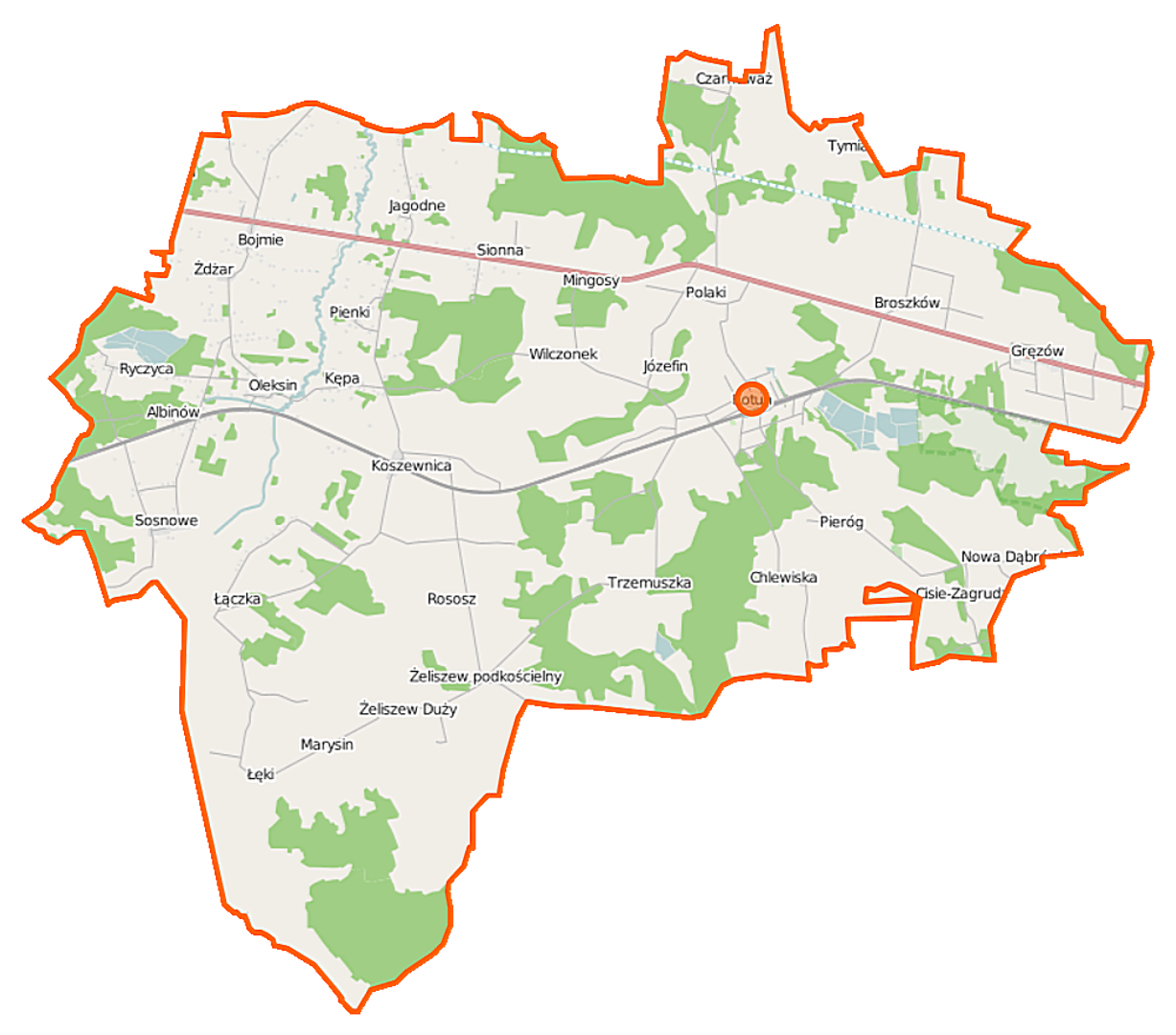
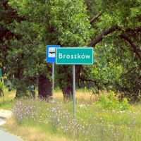
Kotuń Commune, formerly known as Żeliszew Commune, is a rural administrative district located in the Masovian Voivodeship, within Siedlce County. Its administrative seat is the village of Kotuń. Between 1975 and 1998, the commune belonged to the former Siedlce Voivodeship. The commune covers an area of 149.87 km², dominated by agricultural land, which constitutes 69% of its area, and forested areas, which account for 20%. Kotuń Commune makes up 9.35% of the total area of Siedlce County. According to data from 2013, the commune is inhabited by 8,606 people. The demographic structure of the commune, including its age distribution and population changes, presents an interesting topic for social analysis. The commune comprises numerous villages, including Albinów, Bojmie, Broszków, Chlewiska, Cisie-Zagrudzie, Czarnowąż, Gręzów, Jagodne, Józefin, Kępa, Koszewnica, Łączka, Łęki, Marysin, Mingosy, Niechnabrz, Nowa Dąbrówka, Oleksin, Pieńki, Pieróg, Polaki, Rososz, Ryczyca, Sionna, Sosnowe, Trzemuszka, Tymianka, Wilczonek, Żdżar, Żeliszew Duży, and Żeliszew Podkościelny. Kotuń borders communes such as Grębków, Kałuszyn, Mokobody, Mrozy, Siedlce, and Skórzec, providing convenient connections with other localities in the region. The commune stands out for its diverse spatial structure, combining agricultural and forested areas, which is significant for local flora and fauna. The region boasts interesting cultural traditions associated with local crafts and folklore. A noteworthy aspect is the history of the commune's name and its changes over the years, reflecting the dynamic administrative transformations in Poland. Kotuń, with its charming landscape and numerous villages, has great potential for the development of rural and agritourism, which could attract visitors interested in the region's culture and traditions.
Location

2026 Wizytor | All Rights Reserved