Lambs
6.79
Overview
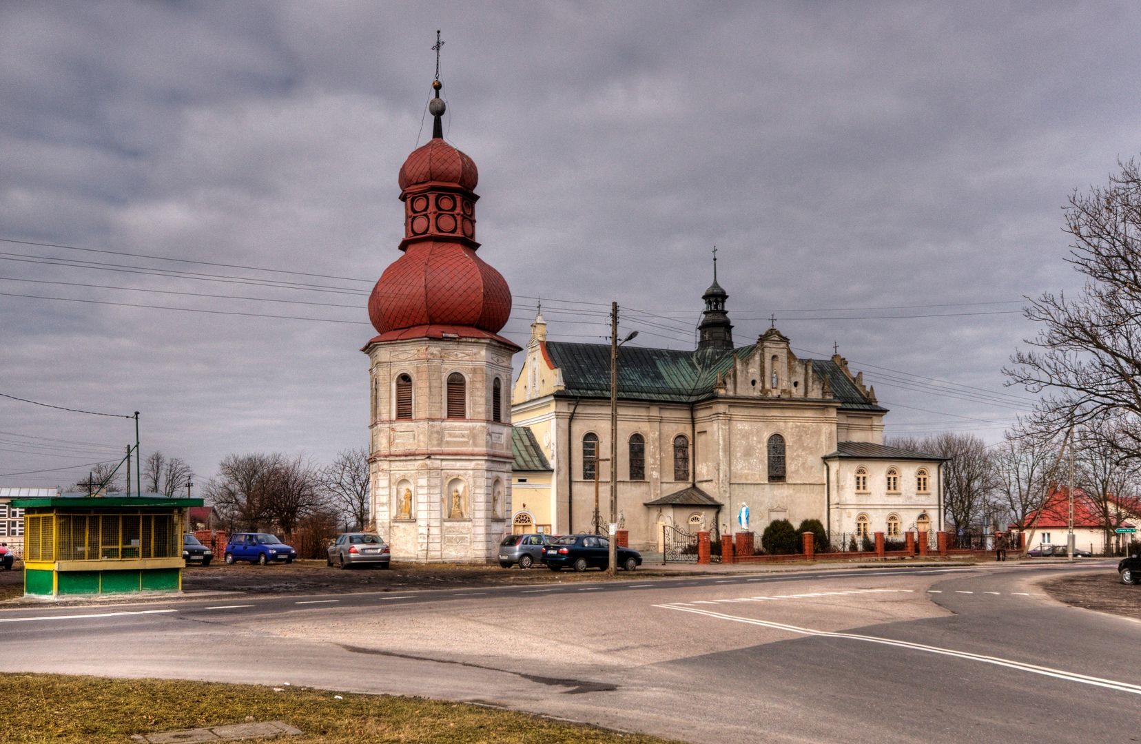
The commune of Łanięta, located in central Poland in the Łódź Voivodeship, is one of the smallest administrative units in the region, ranking 151st out of 177 communes. Its seat is in the village of Łanięta. Covering an area of 54.89 km², the commune is characterized by an agricultural economy, with farmland accounting for 92.8% of its area. Its history dates back to the times of the Kingdom of Poland, when it was part of the Miksztal commune in the Kutno County. Over the years, Łanięta changed its administrative affiliation, and after 1999 it once again became part of Kutno County. It now borders five communes, including Kutno and Gostynin. Geographically, the commune is situated mainly on the Kłodawa Upland, and its terrain is conducive to agriculture due to favorable soil conditions. The commune also has deposits of rock salt, which in the past led to considerations of opening a mine. Łanięta is home to natural monuments and 12 objects listed in the register of historical monuments, which testify to the local cultural heritage. The demographic structure of the commune includes 2,459 inhabitants, and within its area there are 13 village administrative units (sołectwa), highlighting its predominantly rural character. Interestingly, the forest cover is 6.47%, which is three times lower than the average in the voivodeship. The commune's culture is deeply rooted in rural traditions related to agriculture, which influences the daily life of its inhabitants and shapes the regional identity.
Location
2026 Wizytor | All Rights Reserved