Lubowidz
6.95
Overview
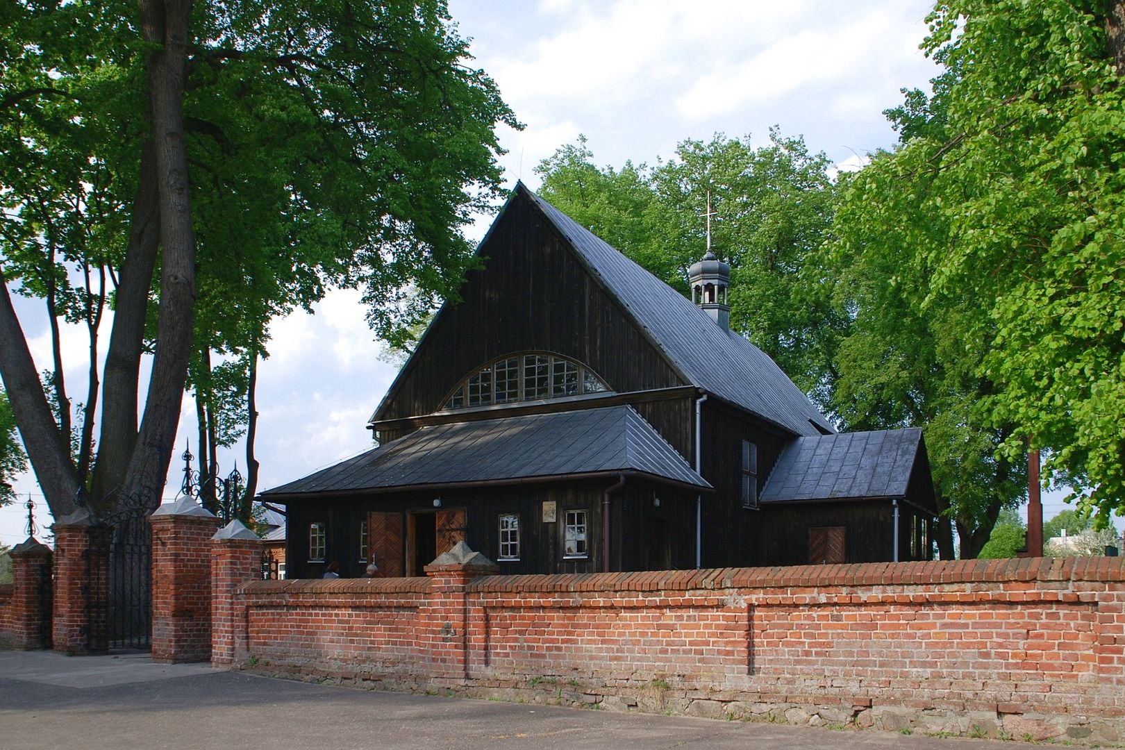
Lubowidz, an urban-rural municipality in the Masovian Voivodeship with its seat in a town of the same name, boasts rich historical and cultural roots. The name Lubowidz derives from the Old Polish name Lubowid, highlighting local traditions and heritage. The municipality, which was known as the Zieluń Commune until 1954, is located in the Żuromin County and belonged to the Ciechanów Voivodeship between 1975 and 1998. According to data from June 30, 2004, the municipality was home to 7,409 people, reflecting a small yet diverse community. The area of the municipality spans 190.81 km², dominated by agricultural land (59%) and forests (36%). Covering 23.7% of the county's area, Lubowidz is an attractive destination for those connected to agriculture and nature. The local cultural landscape includes numerous villages, such as Bądzyn, Cieszki, and Zieluń, each with its unique traditions and customs. The municipality is rich in diverse architecture, including traditional rural houses and functional buildings that showcase the local construction style. Lubowidz and its surroundings also offer interesting tourist routes, thanks to its charming landscapes and rich culture, attracting enthusiasts of history, nature, and active recreation. It is also worth noting that the municipality borders other communes, creating numerous opportunities for cooperation and regional development. An interesting fact is that Lubowidz combines tradition with modernity, making it an intriguing place to live and visit.
Location
2026 Wizytor | All Rights Reserved