Marsh
6.56
Overview
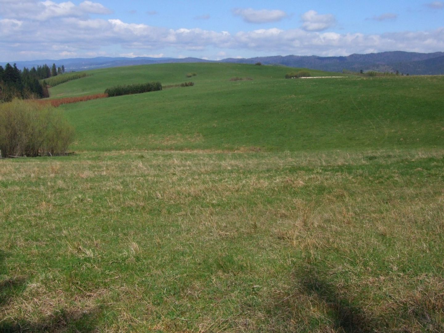
Majerz is a peak with an elevation of 689 meters above sea level, located in the Central Pieniny range, in the western part of the Czorsztyn Pieniny. It is a relatively unremarkable summit situated between the Snozka Zamecka Pass and the Osice Pass. Water from the southwestern slopes of Majerz flows into the Harczygrund Valley, while the northeastern slopes, partially traversed by the Krośnica–Sromowce Wyżne road, lead toward the valley of the Krośnica Stream. The mountaintop is a broad area covered with meadows (known as the Majerz Clearing), serving as a viewpoint due to the absence of forest. Almost the entire massif lies within the Pieniny National Park, highlighting the natural value of this location. The name "Majerz" derives from the German word "Maierhof," meaning a manor farm, which evolved into a Polonized form in the Podtatrze region. This farm was documented in sources from 1598 and 1632. In the Spiš region, the term "majerz" referred to cattle barracks during the grazing season, and "majer" was equivalent to a head shepherd responsible for cows, as opposed to a "baca," who tended to sheep. A blue hiking trail runs across the summit, leading from Czorsztyn through the Majerz Clearing toward Trzy Korony (Three Crowns), with a hiking time of 15 minutes from Czorsztyn and also 15 minutes from the Osice Pass.
Location
Tickets
Powered by GetYourGuide
2026 Wizytor | All Rights Reserved