Masurian Canal
6.67
Overview
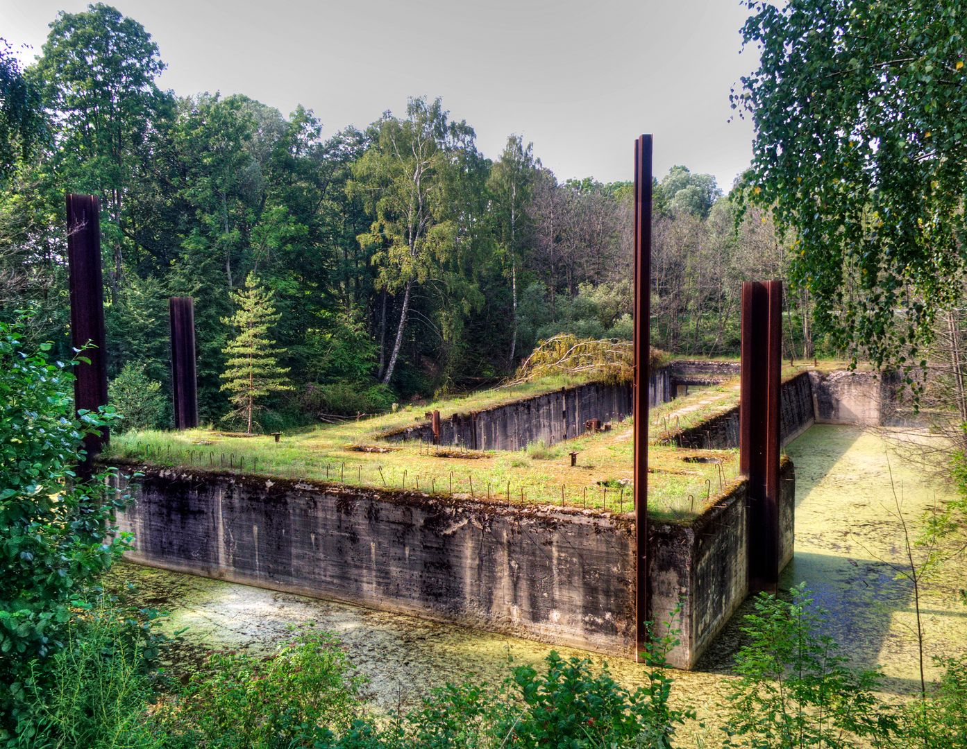
The Masurian Canal, an unfinished waterway project connecting the Great Masurian Lakes to the Baltic Sea, stands as a testament to complex construction experiences and local initiatives dating back to the 19th century. The initial concepts for the canal emerged between 1862 and 1864, when analyses indicated that a route linking Lake Mamry with the Łyna River was the most economically advantageous. Over the years, various proposals were put forward, including the construction of electric locks and weirs, but each encountered obstacles such as local protests and financial difficulties. Although construction began in 1911, progress was repeatedly interrupted by the World Wars. By 1942, approximately 90% of the project had been completed, including the canal bed, but the necessary connections to all locks were never established.
The canal stretches 50.002 km, making it a significant piece of water infrastructure in the region and enabling the transport of vessels with a displacement of up to 250 tons. Its shallow depth, width ranging from 20 to 25 meters, and a system of staircase locks based on complex infrastructure—including 10 locks—highlight the project's technical importance. The difference in water levels between Lake Mamry and the Łyna River necessitated advanced engineering solutions, with the Piaski Lock standing out as the only fully operational structure among the completed facilities.
Although the Masurian Canal was never finished, its history and architecture represent a valuable part of the cultural heritage of Masuria. The area surrounding the canal is rich in diverse flora and fauna, making it an attractive destination for nature observers. Numerous forms of environmental protection, such as nature reserves and Natura 2000 areas, are located around the canal, safeguarding local ecosystems. Ultimately, the Masurian Canal, with its intricate history, ambitious construction plans, and ecological potential, remains a fascinating example of regional water engineering and environmental conservation in Poland and Russia.
Location
2026 Wizytor | All Rights Reserved