Sadowne
6.63
Overview
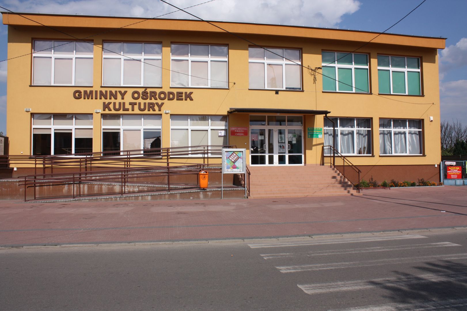
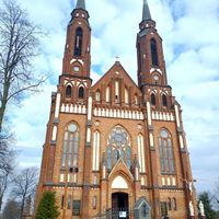
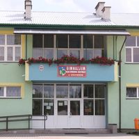
Sadowne Commune, located in the Masovian Voivodeship, Węgrów County, is an area rich in history and tradition. From 1975 to 1998, the commune belonged to the Siedlce Voivodeship, and its seat is the town of Sadowne. The commune's coat of arms, featuring a green-yellow-blue shield with a rye ear, an oak leaf, and a cross, symbolizes the patriotism of local farmers, the beauty of nature, and religious traditions associated with the establishment of the parish in 1524. The commune covers an area of 144.72 km², predominantly agricultural land (65%) and forests (26%). The soils are degraded, with a small proportion of good-quality soils, and have glacial deposits as parent rock. In 2011, the commune had 6,128 inhabitants, and its demographic structure reflects a diverse age distribution. Sadowne is home to educational institutions, including a kindergarten, primary and secondary schools, as well as the Communal Public Library and the Communal Cultural Center. The Museum of the Sadowne Land, located in the commune, promotes local culture. The area is part of the Nadbużański Landscape Park, and in 2002, the Mokry Jegiel Nature Reserve was established, alongside the development of agritourism infrastructure. Sadowne boasts numerous historical monuments, including the Church of St. John the Baptist, a wooden rectory from 1828, and several chapels. The commune borders towns such as Brańszczyk, Łochów, and Kosów Lacki and consists of numerous village administrative units, contributing to its cultural diversity and richness. Sadowne is a place that blends tradition with modernity, serving as an important point on the regional map.
Location
City
Węgrów Deanery
Tertiary Administrative Division
Bran's River
County
Węgrów County
State
Masovian Voivodeship
Country

2026 Wizytor | All Rights Reserved