St. Anne's Mountain Landscape Park
7.27
Overview
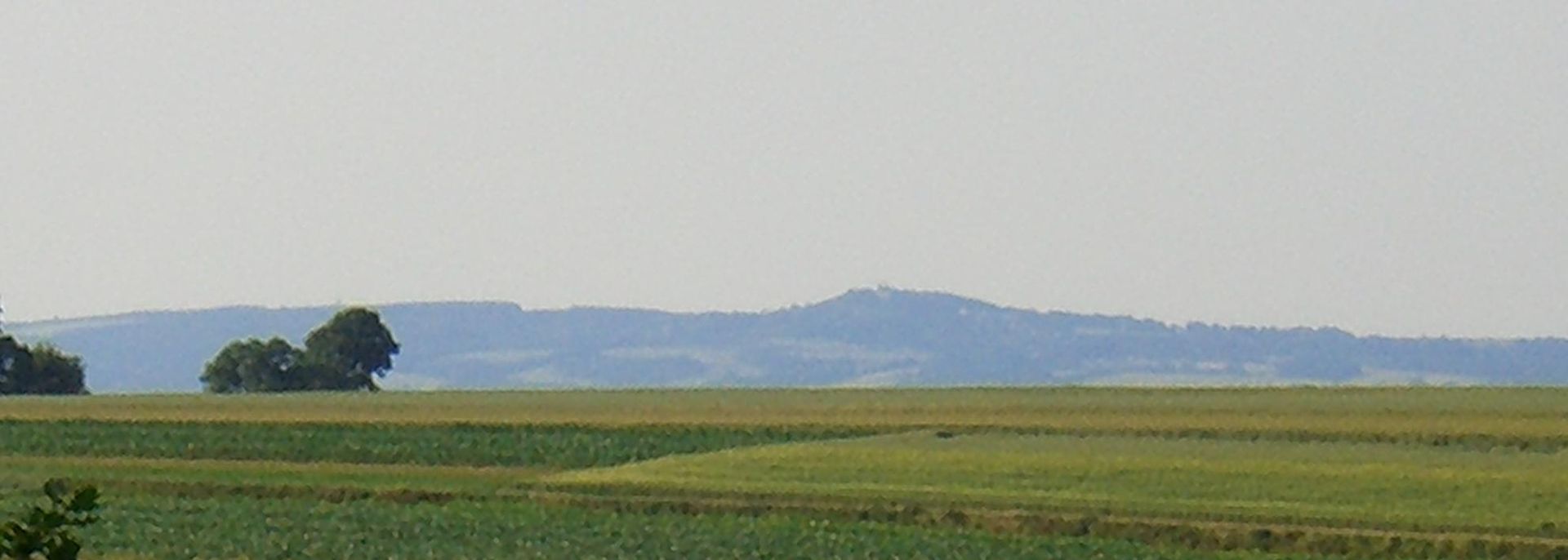
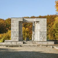
The Góra Św. Anny Landscape Park, established in 1988, is a picturesque area covering 5,051 hectares, located in the central-eastern part of the Opole Voivodeship, between the towns of Leśnica, Gogolin, Strzelce Opolskie, Ujazd, and Zdzieszowice. Its purpose is to protect the region's valuable natural, landscape, and cultural assets, as well as to promote spatial development in accordance with ecological principles. The park is characterized by unique geology, dominated by Triassic limestones and marls, and a rich terrain, with its highest point being Góra Św. Anny, reaching 404 meters above sea level. The area features numerous karst formations, including sinkholes and grottos. The park's flora includes approximately 440 species of vascular plants, including rare and protected ones, while its fauna is rich in diverse species of birds, mammals, and amphibians. The park also boasts numerous architectural monuments, such as the palace and park complex in Żyrowa and the monastery with the basilica on Góra Św. Anny. The area was the subject of environmental protests related to the construction of the A4 highway, whose route divided the park into two parts, raising concerns about its natural value. The park is not only a natural oasis but also a place with a rich history and local traditions. Interestingly, research on fungi in the Góra Św. Anny region revealed the presence of approximately 599 species of butterflies, making this area an important site on Poland's entomological map. It is also worth noting that part of the park is included in the Natura 2000 network, further emphasizing its importance for biodiversity conservation.
Location


2026 Wizytor | All Rights Reserved