Szamotuły
7.01
Overview
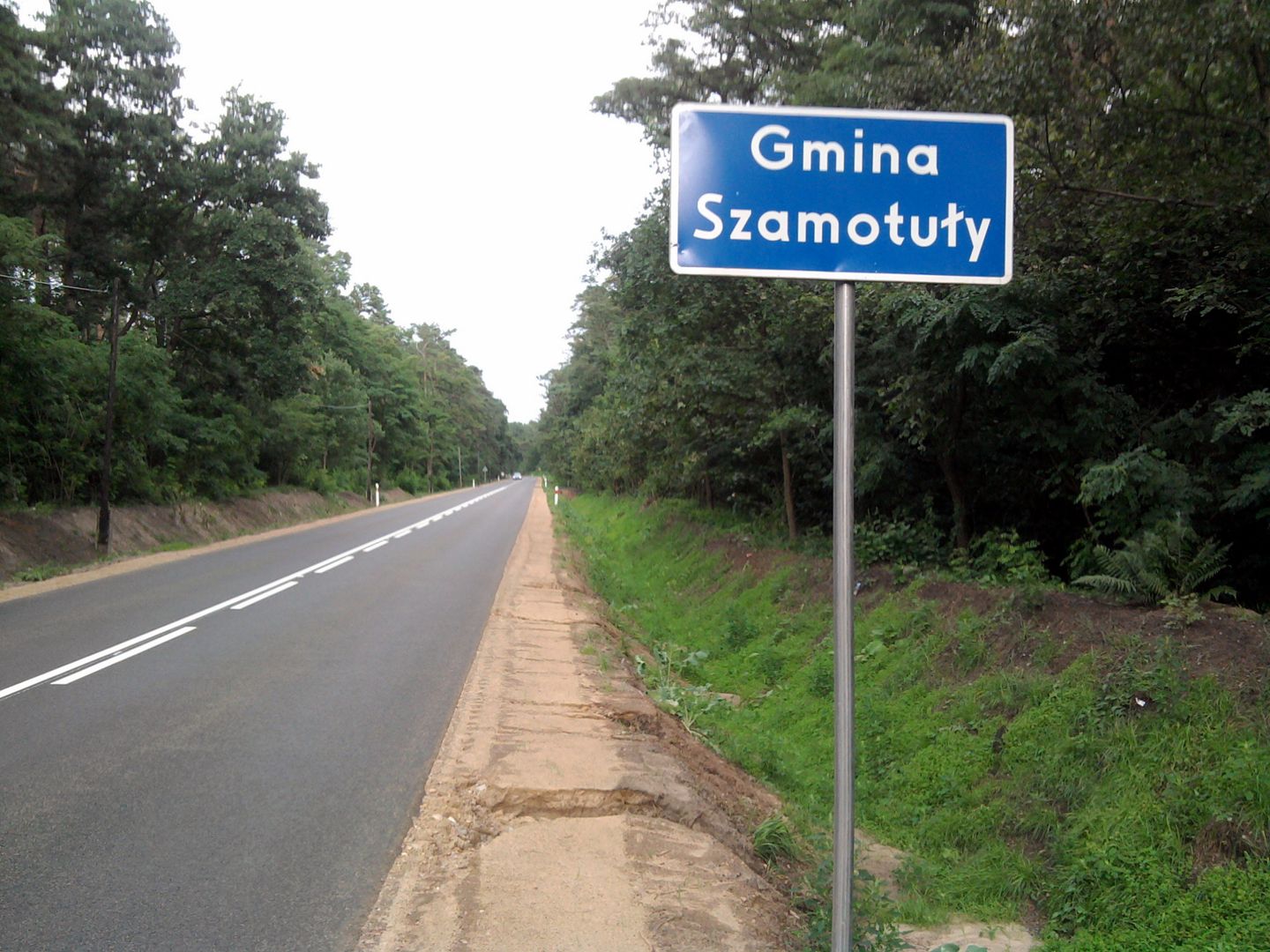
Szamotuły Commune, located in the Greater Poland Voivodeship within Szamotuły County, is an urban-rural administrative unit with its seat in the town of Szamotuły. The commune covers an area of 175.52 km² and borders the communes of Ostroróg, Pniewy, Obrzycko, Oborniki, Rokietnica, and Kaźmierz. It is inhabited by approximately 30,251 people, and its territory is characterized by a diverse landscape, with agricultural land accounting for 75% and forests covering 14%.
The largest villages in the commune are Otorowo, Pamiątkowo, and Gałowo, with the average population of a village administrative unit (sołectwo) being 398. The region boasts numerous historical monuments, including the palace and farm complex in Baborówko and the All Saints' Church in Otorowo, which dates back to the first half of the 16th century.
Szamotuły is distinguished by its historical urban layout, which developed from the 14th to the 20th century, as well as its numerous religious and secular buildings. Among these are the 17th-century Franciscan monastery complex and the castle complex from the 16th to 19th centuries. As part of the Poznań agglomeration, the area attracts visitors with its architecture and rich cultural heritage, which reflects the history of the locality.
It is worth noting that Szamotuły Commune has preserved many traditions and historical traces, making it an interesting destination both for residents and tourists.
Location


2026 Wizytor | All Rights Reserved