Szamotuły County
7.41
Overview
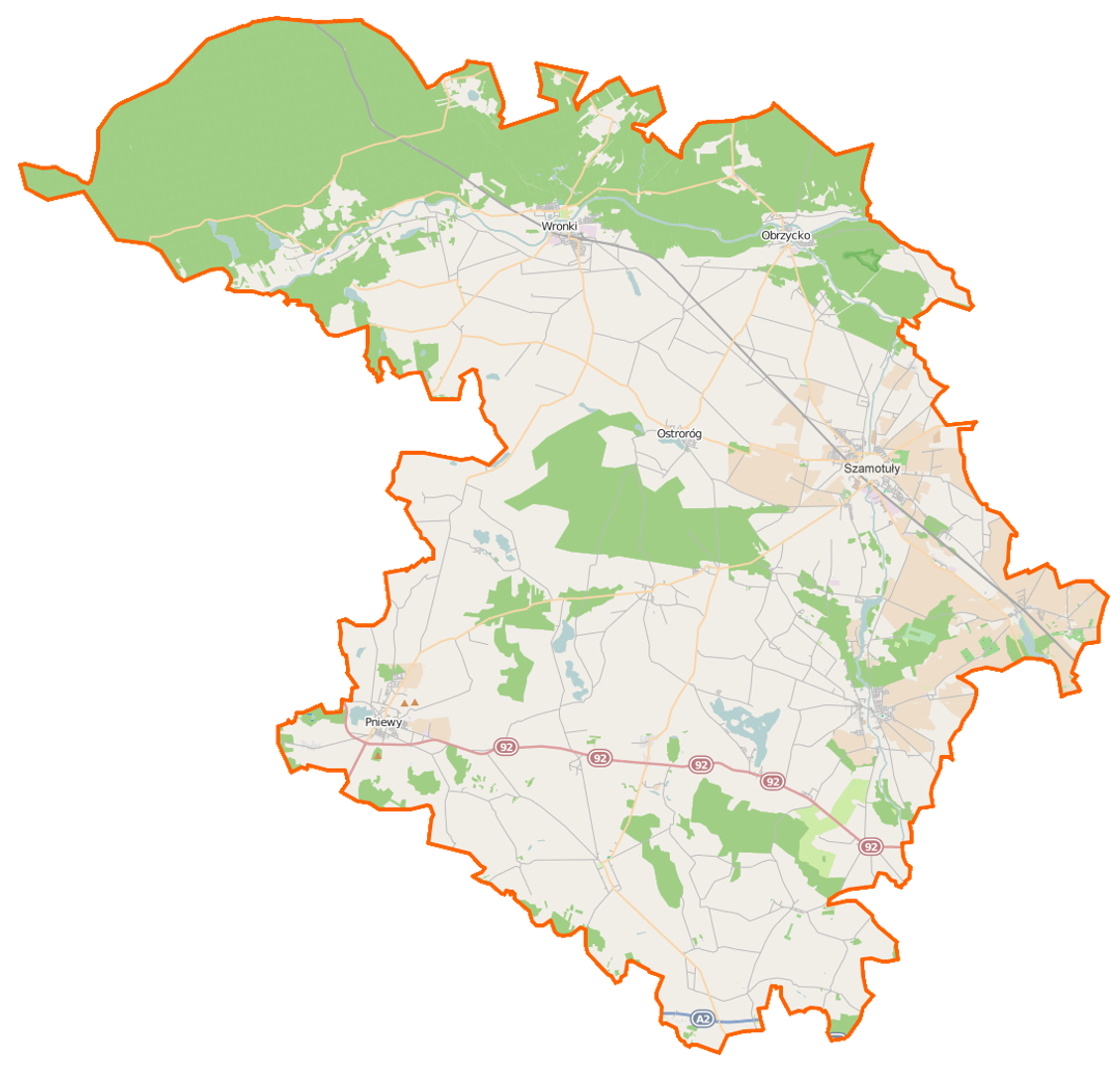
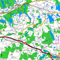
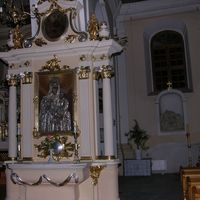
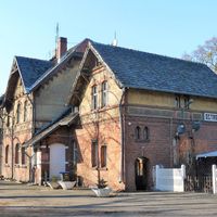
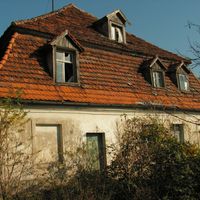
Szamotuły County, established in 1999 within the Greater Poland Voivodeship, has its seat in the town of Szamotuły and is inhabited by approximately 91,662 people. Geographically, it is located northwest of Poznań, in the basin of the lower Warta River, within the region of the Poznań Upland. It includes municipalities such as Duszniki, Kaźmierz, Obrzycko, Ostroróg, Pniewy, Szamotuły, and Wronki, covering an area of 1,117 km². The county is served by several important national roads and railway lines, facilitating connections with Poznań and other regions. The area is characterized by picturesque landscapes, including the Notecka Forest, post-glacial lakes, and numerous nature reserves, making it attractive to tourists. Key tourist routes include the European Cistercian Route and the Transwielkopolska Cycling Route, as well as hiking and kayaking trails. Culturally, Szamotuły County boasts various historical chambers and museums, such as the Regional Museum in Wronki and the Archaeological Museum in Szamotuły. The Górków Castle in Szamotuły is a site of historical significance, housing rich collections of Orthodox church art. Additionally, the region promotes agritourism and offers campsites and water equipment rentals, encouraging active recreation.
Location
Country


2026 Wizytor | All Rights Reserved