Toruń Fortress
6.58
Overview
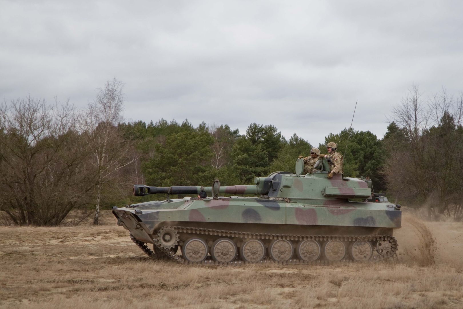
The Toruń Artillery Range, covering an area of approximately 124 square kilometers, is located in Kuyavia, within the extensive dune region of the Toruń Basin. Its history dates back to 1607, when the first artillery exercises took place, and today it primarily serves soldiers of the Center for Artillery and Armament Training in Toruń, as well as NATO. Between 1870 and 1871, following the Franco-Prussian War, the range underwent significant development, including the construction of a railway siding and a narrow-gauge railway. In 1921, the Artillery Firing School was established there, and in 1924, the range gained the status of the Central Artillery Range. During World War II, the Wehrmacht planned defensive lines in the area of the range, which included various fortifications, but these ultimately proved unnecessary. The range features a chapel dedicated to Our Lady of Częstochowa, associated with the departure of French troops in 1812, as well as numerous structures built for military training purposes. The architecture of the range, with its shelters, firing positions, and observation systems, reflects changes in military tactics and the evolution of warfare technology over the centuries. The Toruń Artillery Range, with its rich cultural and historical heritage, is a fascinating example of military land use and an important element of Poland's military history. In its vicinity, traces of former villages such as Fryze and Popioły can be found, highlighting changes in land use and the impact of military activities on the local community.
Location
You can also find here:

2026 Wizytor | All Rights Reserved