Tyrkło
6.17
Overview
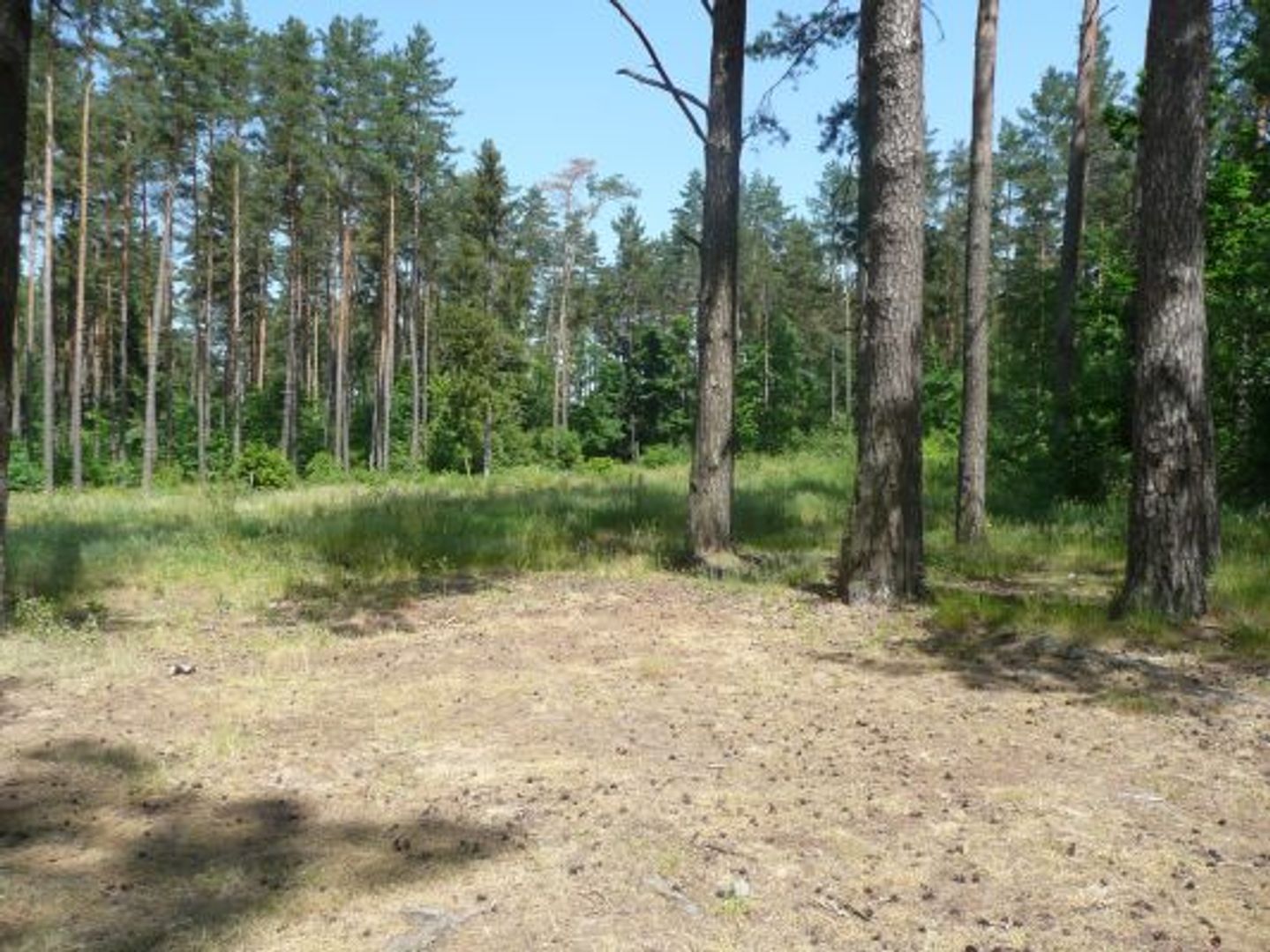
Tyrkło Lake, located in the Warmian-Masurian Voivodeship, is a eutrophic ribbon lake with an area of 236 hectares, a length of 5.2 km, and a maximum depth of 29.2 meters. It is characterized by its narrow shape and forested shores; the northern part is steep, while the southern part is gentler and overgrown with reeds. At the northern end of the lake, there is a spring, and on the eastern shore, the mouth of the Orzysza River, which contributes to the richness of fish species such as pike, perch, and zander. The lake is also a nesting site for many bird species, including white-tailed eagles and ospreys. The western shore is covered with pine forests and has sparse flora, with moss and blueberries. In the southern part, there were once timber rafts, which led to the phenomenon of a "drowned forest," where submerged logs lie at the bottom of the lake. Okartowo is the only village on the lake, and tourism is developing around camping areas, including a large scout campsite. The area also features historical war cemeteries and traces of fortifications from World War II. Culturally, the lake holds significance due to the ancient borders between the Galindians and Yotvingians, with remains of strongholds and watchtowers, including a Galindian watchtower and plans to connect the lake with Buwełno Lake. These plans date back to the interwar period, and since the 21st century, the creation of a tunnel connecting these lakes has been considered. Tyrkło Lake is a place rich in history, flora, fauna, and local traditions, attracting nature and history enthusiasts.
Location
2026 Wizytor | All Rights Reserved