Upper Warta Depression
6.72
Overview
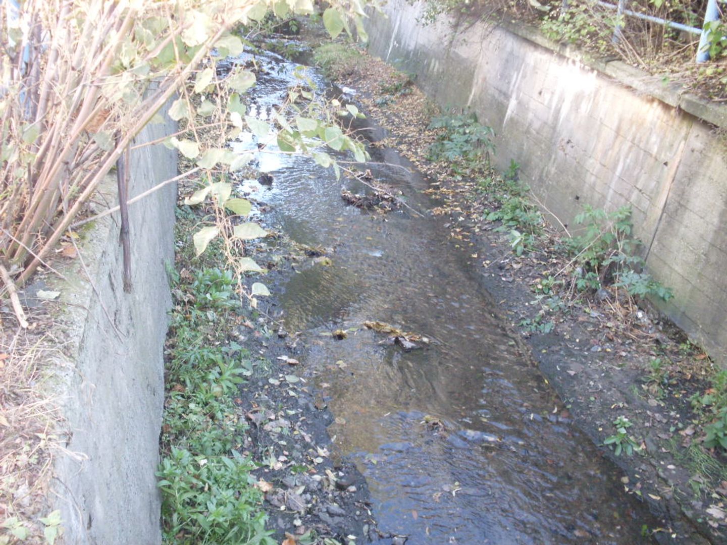
The Upper Warta Depression is a physiographic mesoregion in southern Poland, part of the Woźnicko-Wieluńska Upland. It has an elongated shape defined by the Warta River valley and stretches from the northwest to the southeast, with an additional eastern arm. It borders the Herby Escarpment, the Woźniki Escarpment, and the Częstochowa Upland, and is a forested area formed on ore-bearing clays and covered with Quaternary sands and clays. The region features moraine hills and sandy ridges, with its floor descending from 300 to 220 meters above sea level.
The soil cover is predominantly light, including podzolic and rusty soils, classified into various agricultural suitability complexes. The region is characterized by intensive industrial and mining development, with numerous spoil tips and mining pits. Key cities include Częstochowa, Myszków, and Zawiercie, and an important railway line from Warsaw to Katowice runs through the area. The region encompasses municipalities such as Wręczyca Wielka, Blachownia, Mstów, Kamienica Polska, and others.
Interestingly, the Warta River appears in the coats of arms of the municipalities of Wręczyca Wielka, Poczesna, Myszków, Poręba, and Zawiercie, highlighting its significance in the region. The Upper Warta Depression is not only an important industrial area but also possesses unique natural values, encouraging exploration of its natural beauty and the rich history of local communities.
Location
You can also find here:

Częstochowa
8.44
Blachownia Deanery
Jasna Góra
8.29
Częstochowa

Myszków
7.61

Poczesna
7.54

Zawiercie
7.38
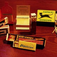
Matchstick Production Museum in Częstochowa
6.89
Częstochowa

Parki podjasnogórskie
6.78
Częstochowa

Jan Długosz University in Częstochowa
6.78
Częstochowa

Częstochowa City Hall
6.77
Częstochowa
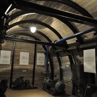
Iron Ore Mining Museum in Częstochowa
6.76
Częstochowa
2025 Wizytor | All Rights Reserved