White Lądecki
6.43
Overview
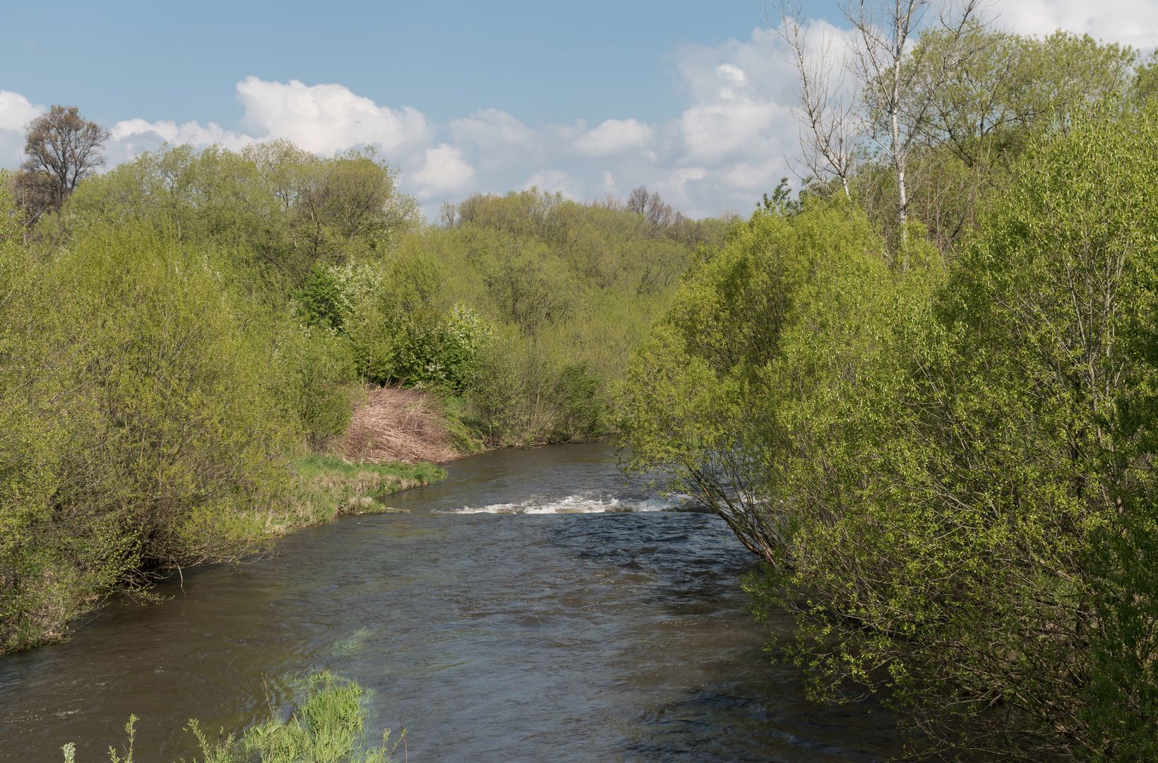
The Biała Lądecka River, part of the Oder River basin, stretches 52.7 kilometers in length and flows into the Nysa Kłodzka River. Historically, it has been known by various names, with its current name officially adopted in 1946. The river has a rich history of flooding, with dramatic consequences for local communities, including the tragic flood of 1997, considered the "flood of the millennium," which destroyed numerous settlements and inundated infrastructure. Over the centuries, the Biała Lądecka Valley has been a site of settlement, attracting people since the Middle Ages, while the development of iron smelting and tourism in the 18th century significantly shaped its character. The area is home to many charming spots, such as Bobrze Stawisko, which was once part of this landscape. The river also supports diverse fauna, including fish species like trout, as well as unique plant habitats. An interesting fact is the existence of local associations dedicated to preserving the traditions of the river valley, such as the Society of Friends of the Biała Lądecka Valley and the Mountain Club, along with the publication of the magazine "Głos Doliny Białej Lądeckiej" between 1993 and 1994. The river is navigable in certain sections, making it an attractive destination for kayakers, though it requires skill and preparation. The Biała Lądecka Valley features significant tributaries, and its unique geological and hydrological environment has contributed to the distinct shape of the area. Today, the river is not only tied to local history and traditions but also to recreation and environmental conservation.
Location
2026 Wizytor | All Rights Reserved