Wroclaw Corners
6.95
Overview
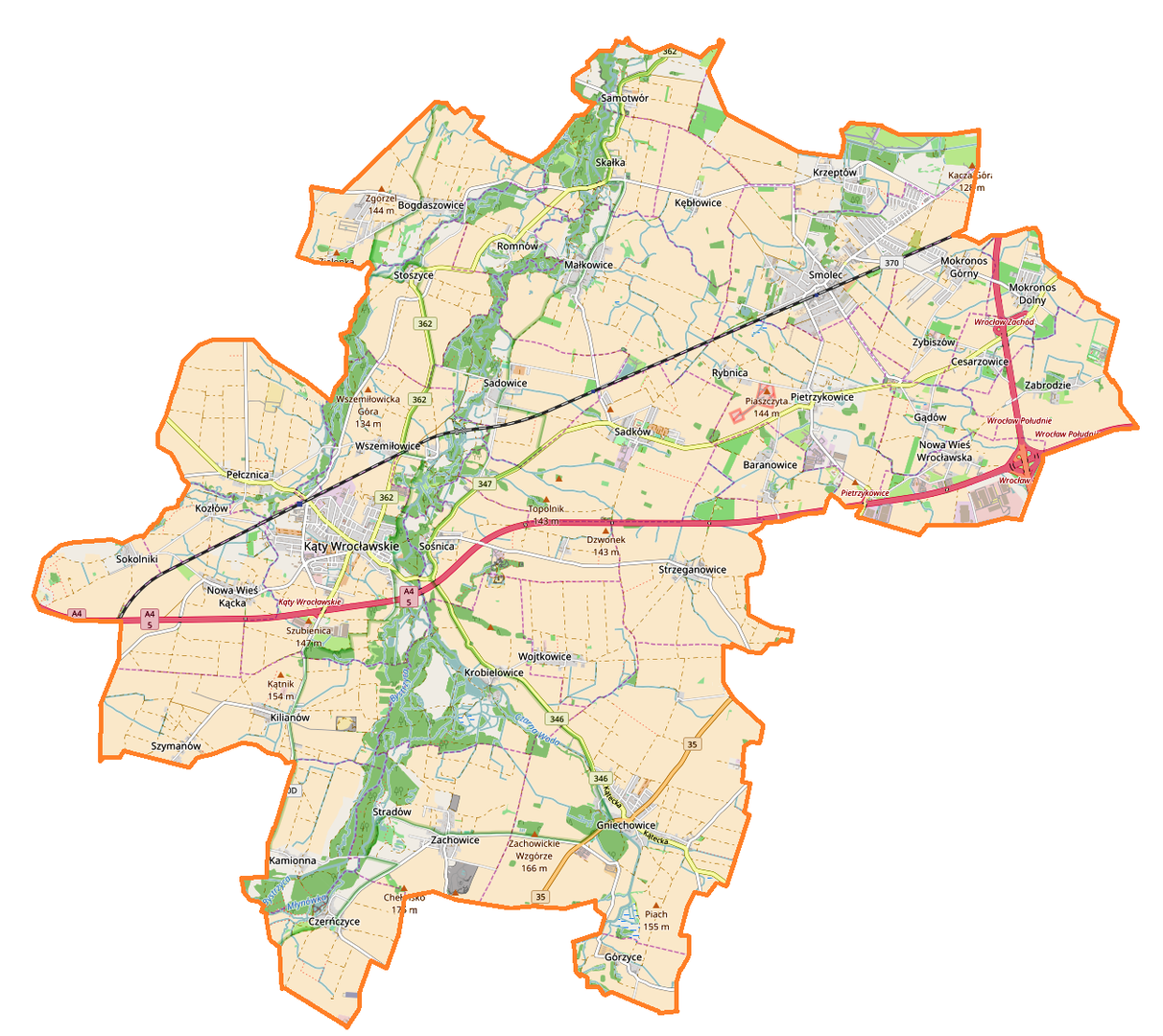
The municipality of Kąty Wrocławskie, located in the Lower Silesian Voivodeship within the Wrocław County, covers an area of 176.66 km², predominantly characterized by agricultural land (86%) and a moderate share of forested areas (7%). The seat of the municipality is the town of Kąty Wrocławskie, situated within the fertile soil zone of Lower Silesia. The municipality boasts a strategic location, bordering Wrocław and the international Wrocław-Strachowice Airport. Between 1975 and 1998, Kąty Wrocławskie was part of the former Wrocław Voivodeship. In 2008, the population was 18,791, which increased to 25,614 by 2020, suggesting the area's growing appeal. In terms of education, the municipality offers numerous preschool and primary facilities, including both public and private institutions, with Montessori options available. Kąty Wrocławskie possesses significant cultural and historical potential, further enhanced by its proximity to Wrocław, facilitating cultural exchange. The age pyramid of the residents reflects a diverse demographic structure, and the average per capita income in 2006 was 2,834.88 PLN, serving as a potential indicator of the local standard of living. Despite ongoing development, the municipality has retained its local charm, making it an interesting place both to live in and to visit.
Location
You can also find here:

2026 Wizytor | All Rights Reserved