Bogatynia
6.66
Overview
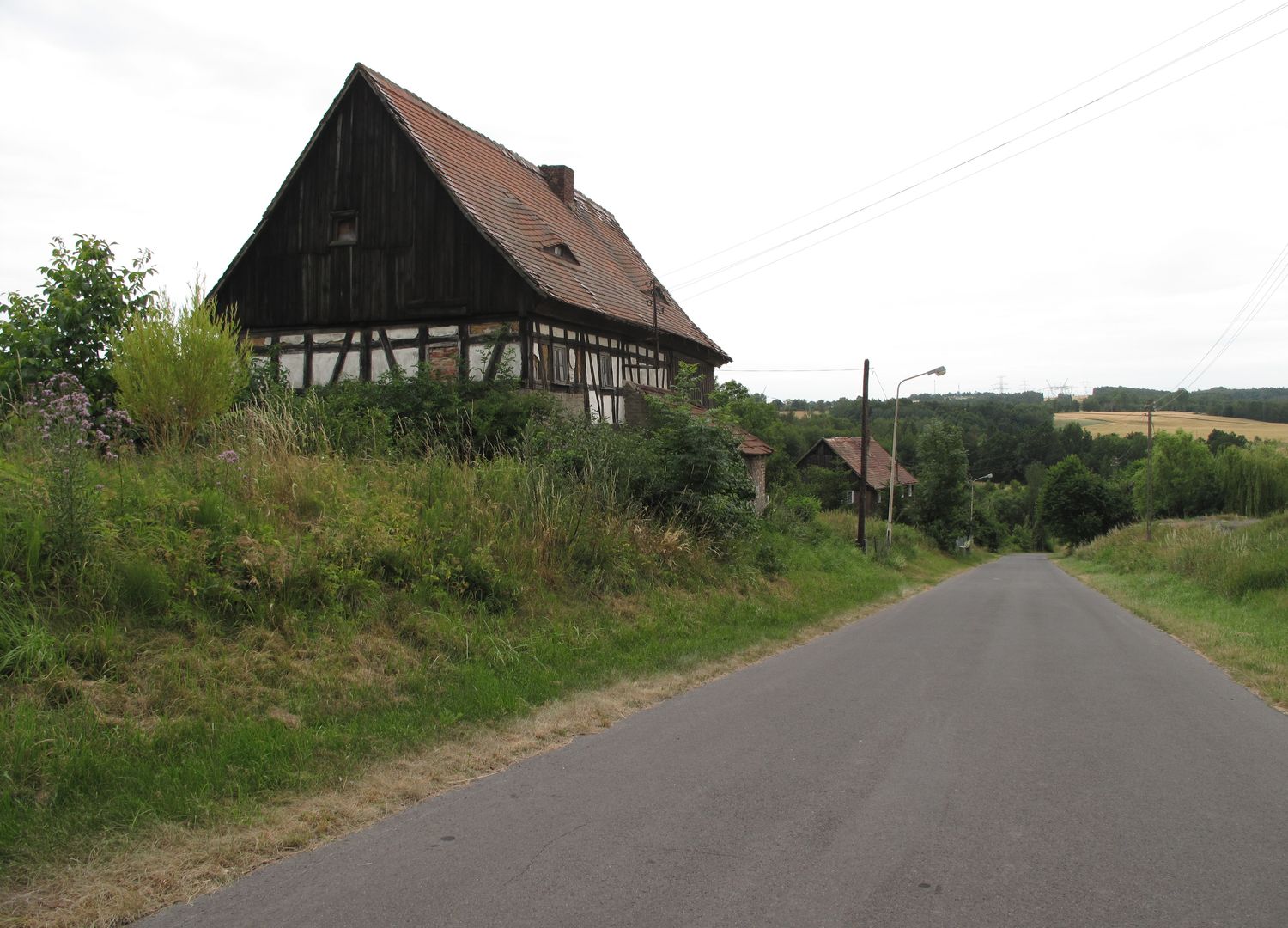
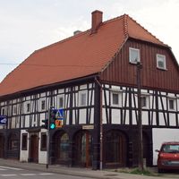
The Bogatynia Commune, located in the Lower Silesian Voivodeship within Zgorzelec County, covers an area of 136.17 km², of which 43% is agricultural land and 15% is forested. Between 1975 and 1998, the commune was part of the Jelenia Góra Voivodeship. Its seat is the town of Bogatynia, which had a population of 22,800 people according to 2020 data. Within the commune lies the Grądy koło Posady Nature Reserve, which protects natural mixed forests, including a lime-maple forest.
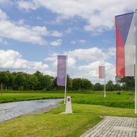
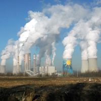
Bogatynia, known as the "Turoszów Basin" due to its distinctive shape, accounts for 16.25% of the area of Zgorzelec County. The commune is one of the wealthiest in Poland. Its localities include Białopole, Bratków, Działoszyn, Jasna Góra, and Sieniawka. Bogatynia shares borders with both the Czech Republic and Germany, highlighting its international location. The town uniquely combines significant natural features with a rich history and dynamic development, contributing to its distinct character.
Location
2026 Wizytor | All Rights Reserved