Zittau-Görlitz Depression
6.6
Overview
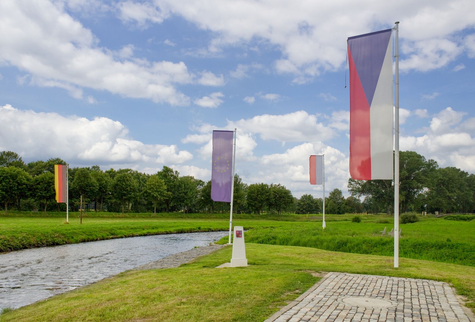
The Zittau-Zgorzelec Basin, also known as the Zittau Basin, is a tectonic depression located in the Czech Republic, Poland, and Germany, surrounded by the Bautzen Plateau, the Lusatian Highlands, and the Jizera Mountains. It is part of the Western Sudeten Foothills and historically has been referred to as the Lusatian Gate. Within this area, distinct microregions can be identified, such as the Turów Basin, the Lusatian Neisse Valley, the Zawidów Depression, and the Zgorzelec Plain. The largest river in the region is the Lusatian Neisse, and the key cities include Görlitz, Zgorzelec, Zittau, and Bogatynia.
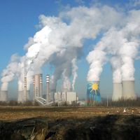
The geological foundation of this basin consists of gneisses, granites, and amphibolites, with the presence of Tertiary basalts. The Turów Basin contains rich deposits of lignite, which fuel the Polish Turów Power Plant. Coal mining has significantly impacted the landscape, resulting in deep open-pit mines and spoil tips. The Turów Basin area is also divided by the borders of the Czech Republic and Germany, contributing to its cultural diversity.
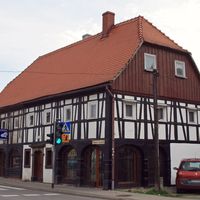
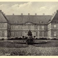
In terms of architecture, the region is characterized by a blend of traditional elements and industrial structures. It is also tragically linked to the history of the coal industry, which dominated for many years and shaped the lives of local communities. Interestingly, its shape on the map resembles a sack, which led to the unofficial name "Turów Sack." The area of this mesoregion is 240 km², and its natural appeal is primarily associated with its rich natural resources and landscape, attracting tourists and nature enthusiasts. The region abounds in diverse cultural assets, such as the architectural heritage of its towns and traditions stemming from its multicultural character, where Polish, Czech, and German influences intertwine.
Thus, the Zittau-Zgorzelec Basin is a place of rich history, cultural diversity, and natural wealth that has played a significant role in the development of the region.
Location
2026 Wizytor | All Rights Reserved