Chmielów
6.4
Overview
Chmielów is a village in the Podkarpackie Voivodeship, in Tarnobrzeg County, situated on the Trześniówka and Mokrzyszówka rivers. Its history dates back to the 13th century when it was founded as a royal village. The village's development was disrupted by Tatar invasions and the Lithuanian Wars, but in the 15th and 16th centuries, it experienced economic growth, transforming from a hunting-based community to an agricultural one. Chmielów was considered an industrial center, especially in the late 19th century, with the establishment of facilities such as a mill and a sawmill. It is also worth mentioning the destruction the village suffered during World War II, including bombings in 1939 that primarily affected the civilian population.
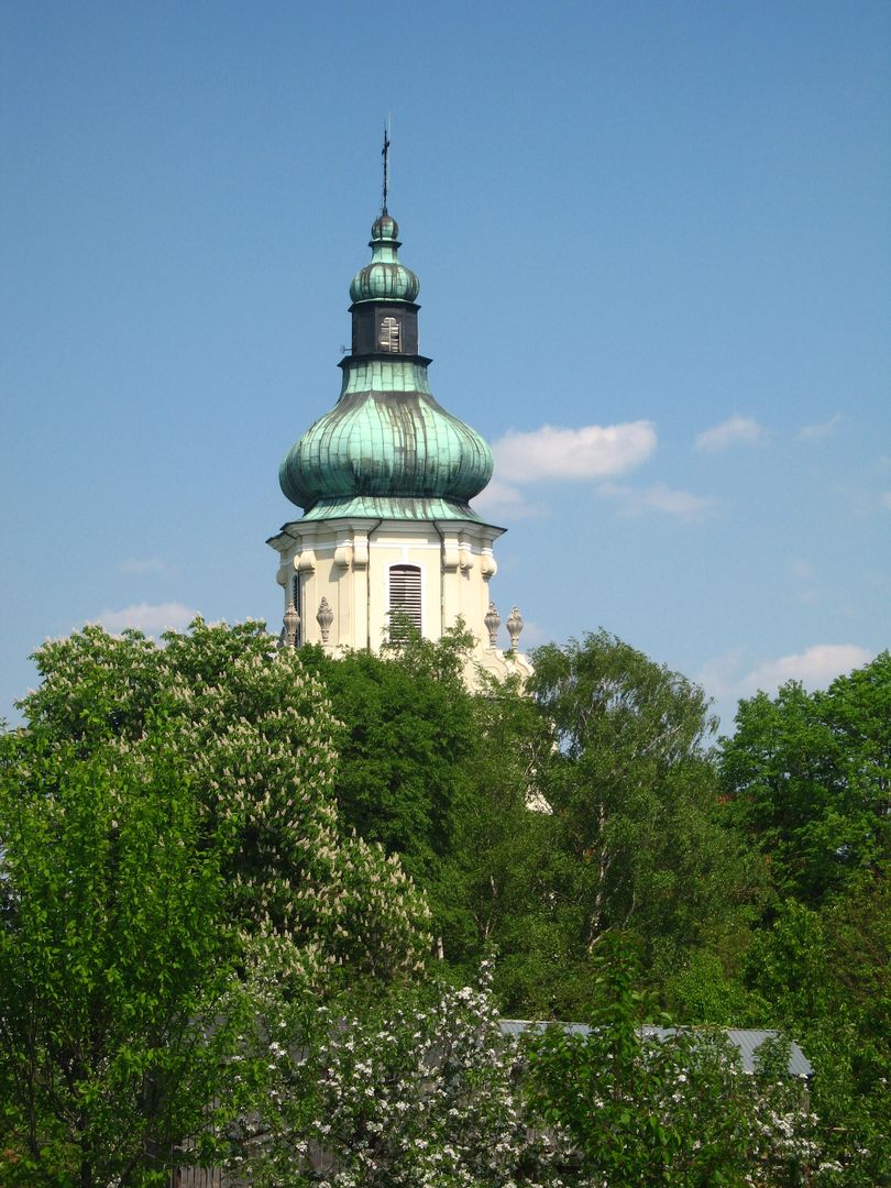
Among its architectural attractions, the parish church of St. Stanislaus and a manor known as Belweder, currently undergoing revitalization, stand out. Chmielów is also home to numerous natural monuments, including a pedunculate oak and a broad-leaved lime tree. The local culture is represented by the Folk Sports Team "Płomień," the Youth Brass Band, and the Rural Cultural Center, which serves as a local cultural hub.
Chmielów is classified as an agricultural village, although fewer residents are engaged in farming today. The podzolic soils, used for growing oats, rye, and corn, are not conducive to intensive agriculture. The surrounding area features the Sandomierz Forest, numerous woodlands, and Lake Tarnobrzeskie, formed after sulfur mining.
Chmielów has convenient transport links, including important railway lines and National Road No. 9, making it easily accessible. With approximately 600 households and a population of over 2,000, the village is currently experiencing residential development, indicating recovery after years of stagnation. An interesting historical note is the presence of a cholera cemetery in the area, with the path to it known as "Trupia Droga" (Dead Man's Road), reflecting the village's rich and complex history.
Location
2026 Wizytor | All Rights Reserved