District III Prądnik Czerwony
6.28
Overview
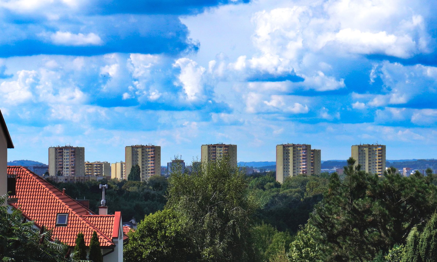
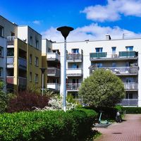
District III Prądnik Czerwony is an auxiliary unit of the urban municipality of Kraków, which was part of the Śródmieście district until 1991. The area of this district covers over 6.4 km², accounting for nearly 2% of Kraków's total area. The district takes its name from Prądnik Czerwony, and its administrative seat is located at 12 Naczelna Street. Prądnik Czerwony consists of three main neighborhoods: Prądnik Czerwony, Olsza (divided into Olsza and Olsza II), and Rakowice, as well as other local urban units such as Ugorek, Warszawskie, Wieczysta, and Wiśniowa. The district's boundaries are largely defined by railway lines, creating natural separations from neighboring districts like I Stare Miasto, II Grzegórzki, and IV Prądnik Biały. Historically, the area primarily encompassed the territories of Prądnik Czerwony, Rakowice, and Olsza, but also included parts of Dąbie and Górka Narodowa. It is worth noting that as a result of administrative reorganization in 1991, parts of these areas were incorporated into newly established districts. The district features diverse architectural structures, including residential buildings from the 1960s and 1970s, as well as modern developments. The local culture is shaped by community initiatives and small, family-run businesses. The district boasts numerous parks and green spaces, which are popular recreational areas for residents. Prądnik Czerwony is an urban district that blends modernity with a rich history, making it an interesting place to live and explore.
Location
Tickets
Powered by GetYourGuide

2026 Wizytor | All Rights Reserved