Grabowieckie Departments
6.7
Overview
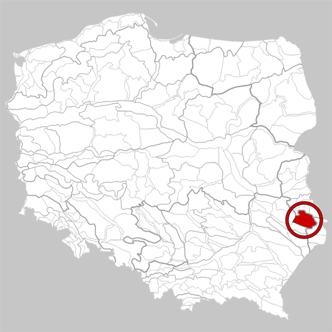
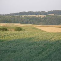
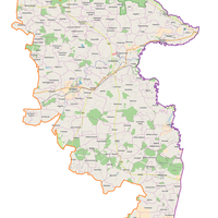
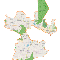
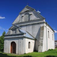
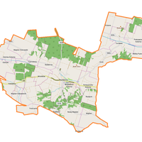
The Grabowiec Uplands (Działy Grabowieckie) are a physiographic mesoregion in the eastern part of the Lublin Upland, characterized by a diverse landscape, including deep valleys and narrow ridges ranging in height from 190 to 311 meters above sea level. The main towns are Grabowiec and Skierbieszów, and the region is traversed by rivers such as the Wolica and Wojsławka, which are right-bank tributaries of the Wieprz River. The area is culturally rich, with numerous Catholic and Orthodox churches and cemeteries, reflecting its complex history. The Grabowiec Uplands were also the site of pacification during World War II, when the inhabitants were displaced to settle German colonists from Romania and Yugoslavia. In 1995, the Skierbieszów Landscape Park was established, covering forested and agricultural areas, predominantly with deciduous forests including beech, hornbeam, and sycamore, spanning an area of 35,488 hectares with a buffer zone of 13,079 hectares. The region also features numerous nature reserves, such as "Broczówka," "Głęboka Dolina," "Rogów," and "Wygon Grabowiecki," which protect unique ecosystems and plant and animal species. Among the architectural monuments, the churches in Bończa, Skierbieszów, and Surhów stand out, as well as the Orthodox Church of the Protection of the Mother of God in Bończa. Also noteworthy are the manor and palace complexes in towns such as Orłów Murowany, Stryjów, and Kalinówka, as well as the manor park in Hajowniki and the inn in Kraśniczyn. The Grabowiec Uplands region, with its rich history, diverse landscape, and valuable natural resources, is a fascinating place to explore for both nature and history enthusiasts.
Location


2025 Wizytor | All Rights Reserved