Greater Poland pyramids
6.89
Overview
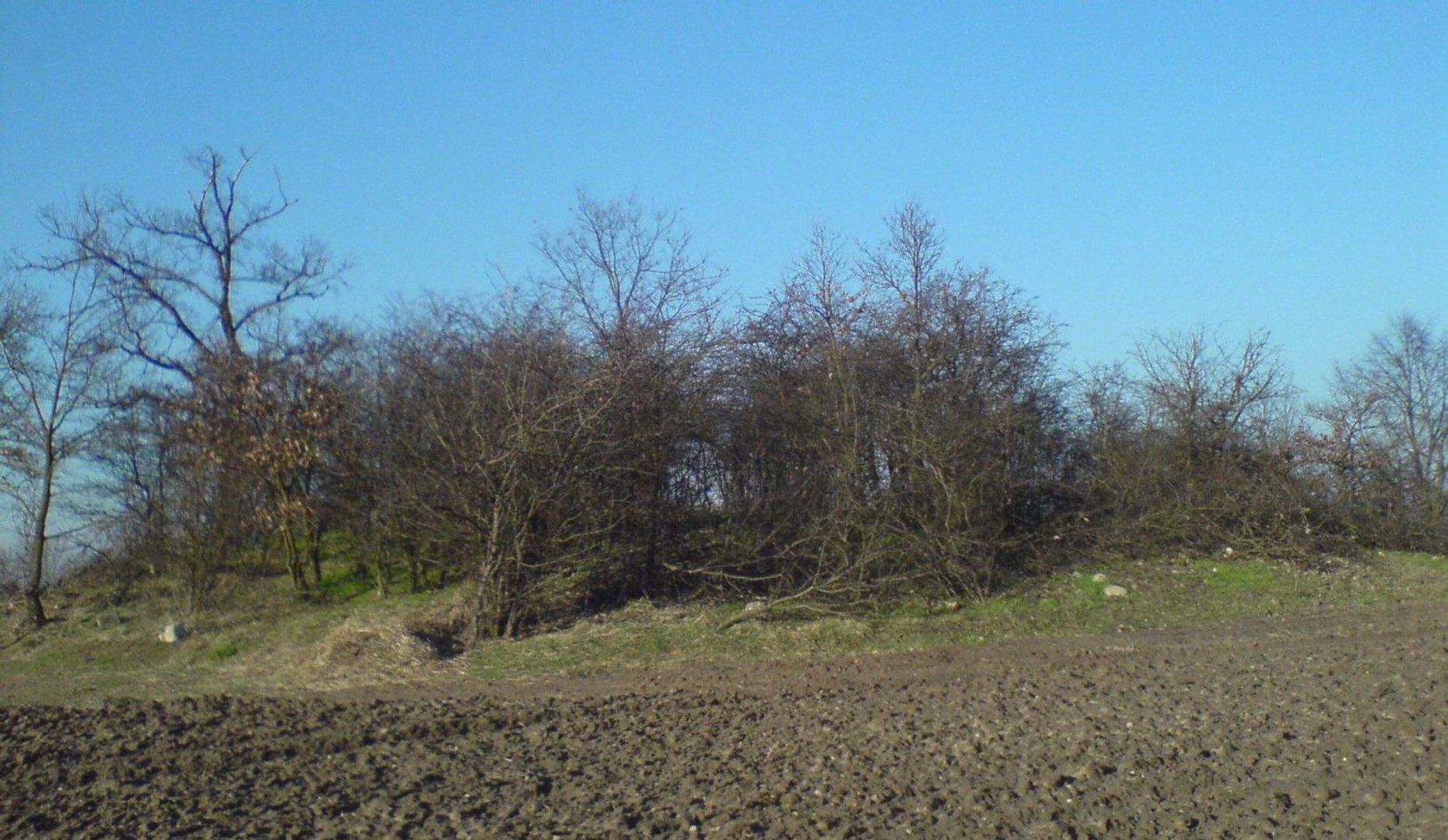
The Great Poland Pyramids are a group of four burial mounds located near Łęki Małe in the Greater Poland region, dating back to the late Unetice culture period (1700–1500 BCE). Of the original 11 mounds that existed in 1881, some were destroyed during the construction of a railway line between 1901 and 1906. The remaining mounds now stand between 2.5 and nearly 5 meters in height, with circumferences ranging from 60 to 141 meters.
Archaeological excavations led by Józef Kostrzewski in 1933, 1953, and 1955 uncovered rich grave goods, indicating the high social status of the individuals buried there. These included artifacts made of bronze, gold, and amber, as well as metal dagger-scepters. Horses were also placed in the graves, reflecting associations with sun and fire worship.
Geophysical surveys conducted in 1997 helped identify the locations of the destroyed mounds and led to the discovery of previously unknown structures. These pyramids are a unique phenomenon on a European scale, with a second similar group of mounds located in Ukraine, though from a different era.
Architecturally, their construction, techniques, and materials reflect the advanced level of the civilization that built them and highlight the significant role these structures played in their society. Interestingly, research was carried out under the direction of Marek Chłodnicki from the Archaeological Museum in Poznań, underscoring the importance of this site for Polish archaeology.
Location
2026 Wizytor | All Rights Reserved