Izera Foothills
6.46
Overview
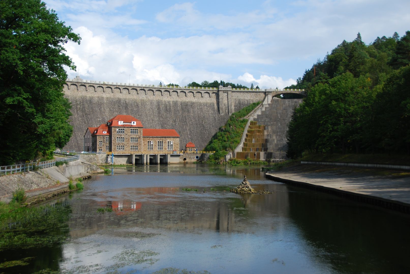
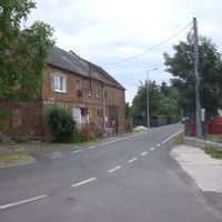
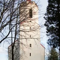
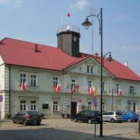
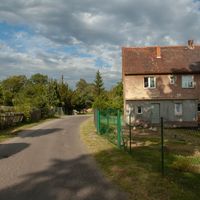
The Izera Foothills, also known as Frýdlantská pahorkatina, is an area located on the northern foreland of the Izera Mountains, bordered by the Lusatian Neisse River to the west and the Kamienna and Bóbr rivers to the east. The northern boundary of the region is conventionally marked by the 200-meter contour line. The eastern part is separated by the Bóbr Valley from the Kaczawskie Foothills, while to the southeast, the Izera Upland borders the Jelenia Góra Valley. The region is shaped by the Kwisa River, which flows through towns such as Mirsk and Lubań. Within the Izera Foothills, numerous microregions can be distinguished, including the Działoszyn Elevation and the Lubomierz Depression. The geological foundation of the region consists of gneisses and metamorphic rocks, as well as younger Pleistocene and Holocene deposits. Notable local tourist attractions include castles such as Czocha, Gryf, and Rajsko, which are important historical landmarks in the region. Towns like Gryfów Śląski, Leśna, and Lwówek Śląski offer beautiful panoramas, as well as historic town halls and the market square in Lubomierz. The Leśniańskie and Złotnickie Lakes, along with the Pilchowice Dam, are additional attractions that draw nature lovers and tourists. The Izera Foothills is an area rich in cultural and natural curiosities, blending history and natural beauty.
Location
2026 Wizytor | All Rights Reserved